Decatur in Newton County, Mississippi — The American South (East South Central)
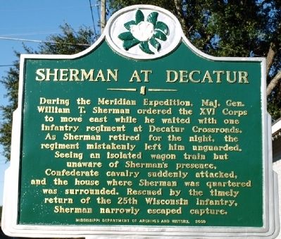
Sherman at Decatur
Erected 2009 by Mississippi Department of Archives and History.
Topics and series. This historical marker is listed in this topic list: War, US Civil. In addition, it is included in the Mississippi State Historical Marker Program series list.
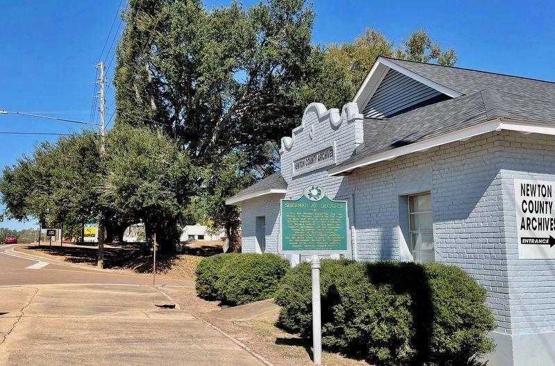
Location. 32° 26.291′ N, 89° 6.399′ W. Marker is in Decatur, Mississippi, in Newton County. Marker is at the intersection of State Highway 15 and 7th Street, on the right when traveling north on State Highway 15. Touch for map. Marker is in this post office area: Decatur MS 39327, United States of America. Touch for directions.
Other nearby markers. At least 8 other markers are within 10 miles of this marker, measured as the crow flies. Medgar Evers (about 600 feet away, measured in a direct line); Beulah Hubbard School (approx. 6.3 miles away); Doolittle C.S.A. Cemetery (approx. 8 miles away); McElroy-Hoye House (approx. 8.7 miles away); Newton County Blues (approx. 8.8 miles away); Grierson's Raid (approx. 8.8 miles away); Confederate Hospital (approx. 8.8 miles away); Boler's Inn (approx. 9.3 miles away).
Credits. This page was last revised on October 26, 2023. It was originally submitted on December 31, 2011, by Jeff Lovorn of Florence, Mississippi. This page has been viewed 847 times since then and 64 times this year. Photos: 1. submitted on December 31, 2011, by Jeff Lovorn of Florence, Mississippi. 2. submitted on October 26, 2023, by Mark Hilton of Montgomery, Alabama. • Craig Swain was the editor who published this page.

