Near Middleburg in Loudoun County, Virginia — The American South (Mid-Atlantic)
Hibbs Bridge
Inscription.
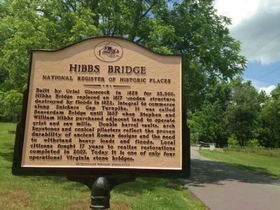
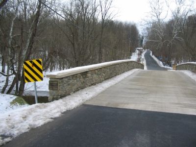
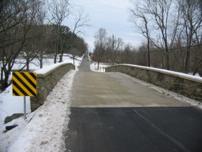
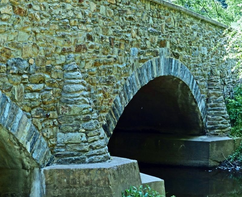
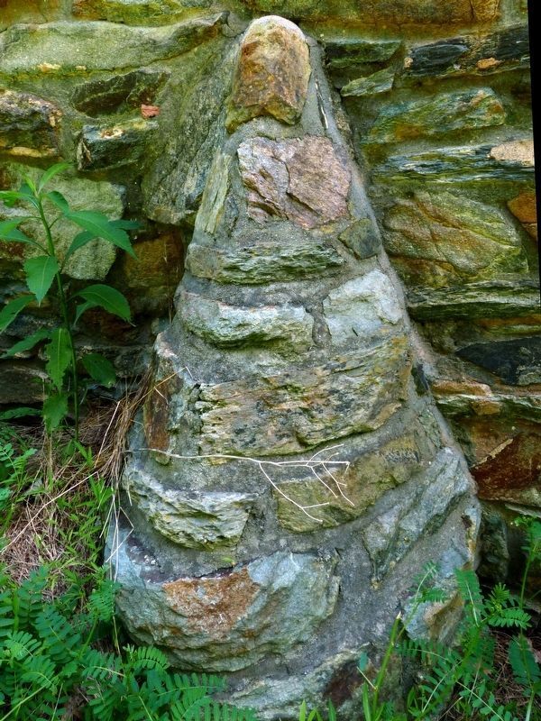
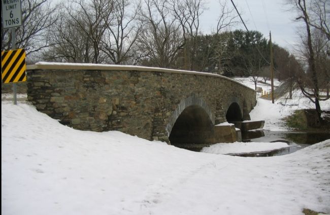
Built by Uriel Glasscock in 1829 for $3,500, Hibbs Bridge replaced an 1817 wooden structure destroyed by floods in 1822. Integral to commerce along Snickers Gap Turnpike. It was called Beaverdam Bridge until 1857 when Stephen and William Hibbs purchased adjacent land to operate grist and saw mills. Double barrel vaults, arch keystones and conical pilasters reflect the proven durability of ancient Roman designs and the need to withstand heavy loads and floods. Local citizens fought 17 years to realize restorations completed in 2007. Today it is one of only four operational Virginia stone bridges.
Topics. This historical marker is listed in this topic list: Bridges & Viaducts. A significant historical year for this entry is 1829.
Location. 39° 2.256′ N, 77° 43.362′ W. Marker is near Middleburg, Virginia, in Loudoun County. Marker is at the intersection of Snickersville Turnpike (County Route 734) and Hibbs Bridge Road, on the right when traveling east on Snickersville Turnpike. Located on the west side of the Hibbs Bridge. Touch for map. Marker is in this post office area: Washington DC 20017, United States of America. Touch for directions.
Other nearby markers. At least 8 other markers are within 4 miles of this marker, measured as the crow flies. Battle of Unison (approx. 1.6 miles away); Round Oak Rag Apple Elevation (approx. 1.6 miles away); Huntland (approx. 2.6 miles away); White Pump Drovers Tavern (approx. 3 miles away); a different marker also named The Battle of Unison (approx. 3.6 miles away); History of St. Louis (approx. 3.8 miles away); a different marker also named Battle of Unison (approx. 3.8 miles away); Bacon Fort (approx. 3.8 miles away). Touch for a list and map of all markers in Middleburg.
Also see . . . Hibbs Bridge. The bridge has not only stood the test of time and the elements, but also plans that would have replaced the it with a more modern structure. Efforts by the Snickersville Turnpike Association saved the bridge. (Submitted on February 3, 2008, by Craig Swain of Leesburg, Virginia.)
Credits. This page was last revised on June 16, 2017. It was originally submitted on February 3, 2008, by Craig Swain of Leesburg, Virginia. This page has been viewed 1,756 times since then and 93 times this year. Photos: 1. submitted on May 31, 2015, by T. Elizabeth Renich of Winchester, Virginia. 2, 3, 4. submitted on February 3, 2008, by Craig Swain of Leesburg, Virginia. 5, 6, 7. submitted on June 13, 2017, by Allen C. Browne of Silver Spring, Maryland. 8. submitted on February 3, 2008, by Craig Swain of Leesburg, Virginia.
