French Quarter in New Orleans in Orleans Parish, Louisiana — The American South (West South Central)
Site of Kolly Townhouse
First Ursuline Convent and Charity Hospital
Photographed by Craig Doda, February 14, 2026
1. Site of Kolly Townhouse Marker
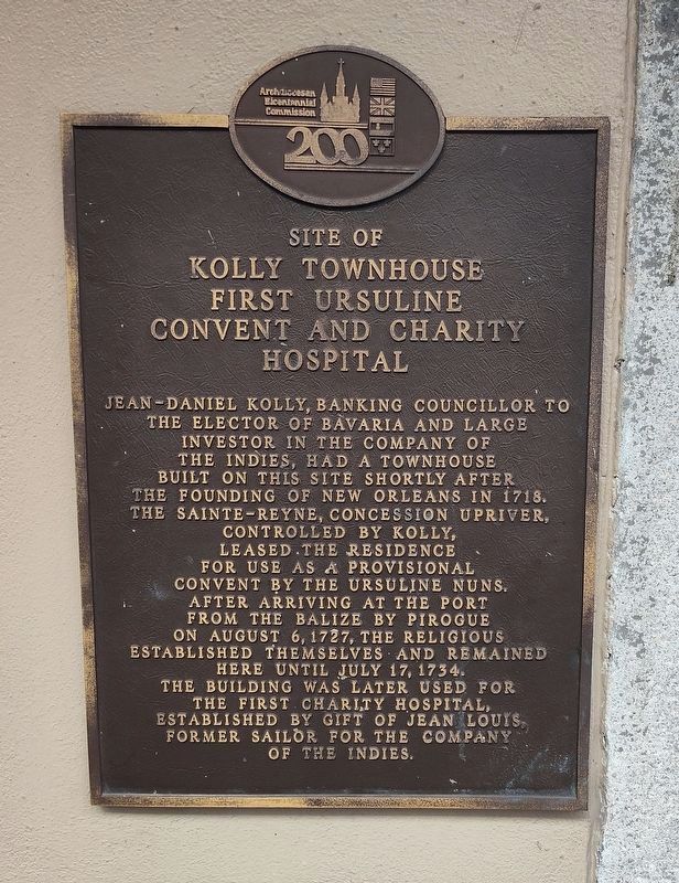
Jean-Daniel Kolly, banking councillor to the Elector of Bavaria and large investor in the Company of the Indies, had a townhouse built on this site shortly after the founding of New Orleans in 1718. The Sainte-Reyne, concession upriver, controlled by Kolly, leased the residence for use as a provisional convent by the Ursuline nuns. After arriving at the port from the Balize by pirogue on August 6, 1727, the religious established themselves and remained here until July 17, 1734. The building was later used for the first charity hospital, established by gift of Jean Louis, former sailor for the Company of the Indies.
Erected by Archdiocesan Bicentennial Commission.
Topics. This historical marker is listed in these topic lists: Charity & Public Work • Religion & Religious Structures. A significant historical date for this entry is July 17, 1964.
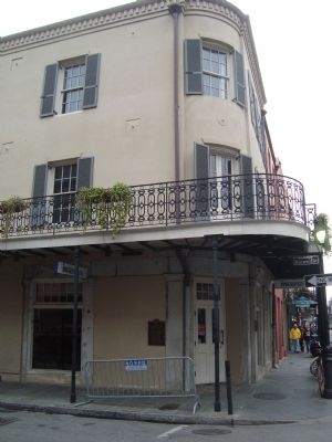
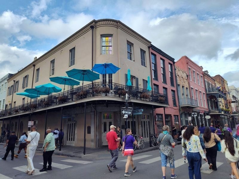
Location. 29° 57.262′ N, 90° 4.003′ W. Marker is in New Orleans, Louisiana, in Orleans Parish. It is in the French Quarter. It is at the intersection of Chartres Street and Bienville Street, on the left when traveling north on Chartres Street. Touch for map. Marker is at or near this
this page online

Regionally, this marker is in one of the River Parishes. It is also in the American South, specifically in the Deep South, on the Gulf Coast, and in the Great River Road Region. Globally, it is in North America, a Gulf of Mexico state, the Western Hemisphere, the Western World, and the Anglosphere. Historically, it finds itself in what was once New Spain, the Viceroyalty of New France, the territory of the Mississippian Culture, the Louisiana Purchase, one of the Confederate States of America, and the Antebellum South.
Other nearby markers. At least 8 other markers are within walking distance of this marker: U.S. Branch Bank (a few steps from this marker); Calle de Bienville (a few steps from this marker); Edgar Degas House (within shouting distance of this marker); Calle de Chartres (within shouting distance of this marker); Conway’s Court (about 300 feet away, measured in a direct line); Judge Fred J. Cassibry Square (about 400 feet away); Bank of Louisiana (about 400 feet away); UpStairs Lounge Memorial (about
Photographed by Barry Swackhamer, December 24, 2011
2. Site of Kolly Townhouse Marker
Photographed by Craig Doda, February 14, 2026
3. Site of Kolly Townhouse Marker
Photographed by Barry Swackhamer, December 24, 2011
4. Site of Kolly Townhouse Marker
Credits. This page was last revised on April 2, 2026. It was originally submitted on January 7, 2012, by Barry Swackhamer of Brentwood, California. This page has been viewed 2,538 times since then and 157 times this year. Photos: 1. submitted on April 2, 2026, by Craig Doda of Napoleon, Ohio. 2. submitted on January 7, 2012, by Barry Swackhamer of Brentwood, California. 3. submitted on April 2, 2026, by Craig Doda of Napoleon, Ohio. 4. submitted on January 7, 2012, by Barry Swackhamer of Brentwood, California. • Craig Swain was the editor who published this page.
