Groveland in Tuolumne County, California — The American West (Pacific Coastal)
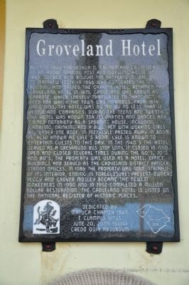
Groveland Hotel
Photographed by Michael Kindig, May 22, 2011
1. Groveland Hotel Marker
Erected 2009 by Matuca Chapter No. 1849, E Clampus Vitus.
Topics and series. This historical marker is listed in these topic lists: Industry & Commerce • Notable Buildings. In addition, it is included in the E Clampus Vitus series list. A significant historical year for this entry is 1849.
Location. 37° 50.358′ N, 120° 13.778′ W. Marker is in Groveland, California, in Tuolumne County. It is on Main Street, on the right when traveling east. Touch for map. Marker is at or near this postal address: 18767
this page online

Regionally, this marker is in California’s Sierra Nevada. It is also in the American Mountain West. Globally, it is in North America, on the Ring of Fire, on the Pacific Rim, in the Western Hemisphere, in the Western World, and in the Anglosphere. Historically, it finds itself in what was once New Spain and also Mexico’s Alta California.
Other nearby markers. At least 8 other markers are within 6 miles of this marker, measured as the crow flies: Iron Door Saloon (a few steps from this marker); Groveland (within shouting distance of this marker); Arrastra (approx. 0.2 miles away); Joseph E. Lemos (approx. 1.9 miles away); Big Oak Flat (approx. 2 miles away); Second Garrote (approx. 2.1 miles away); MCH History (approx. 4.7 miles away); Ferretti Shrine (approx. 5.2 miles away). Touch for a list and map of all markers in Groveland.
Photographed by Michael Kindig, May 22, 2011
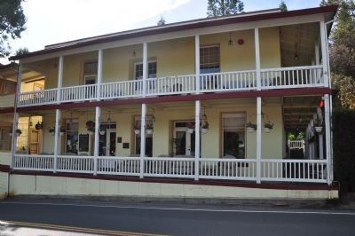
2. Groveland Hotel
This marker is mounted on the front of the building to the left of the entrance door with the NRHP plaque mounted on the right.
Photographed by Michael Kindig, May 22, 2011
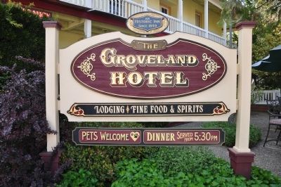
3. Groveland Hotel
Photographed by Michael Kindig, May 22, 2011
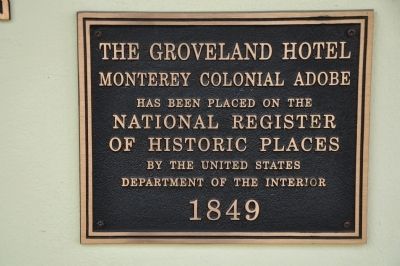
4. Groveland Hotel Marker
The Groveland Hotel Monterey Colonial Adobe has been placed on the National Register of Historic Places by the United States Department of the Interior 1849
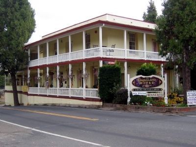
circa 2006
5. Groveland Hotel
Credits. This page was last revised on June 16, 2016. It was originally submitted on January 12, 2012, by Michael Kindig of Elk Grove, California. This page has been viewed 834 times since then and 33 times this year. Photos: 1. submitted on January 12, 2012, by Michael Kindig of Elk Grove, California. 2, 3, 4. submitted on January 13, 2012, by Michael Kindig of Elk Grove, California. 5. submitted on December 26, 2008. • Syd Whittle was the editor who published this page.
