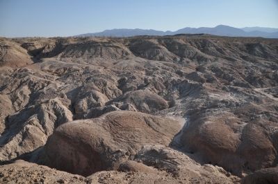
Anza-Borrego Desert State Park in San Diego County, California — The American West (Pacific Coastal)
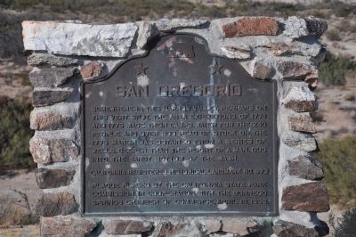
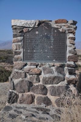
San Gregorio
Erected 1959 by California State Park Commission in Cooperation with the Borrego Springs Chamber of Commerce. (Marker Number 673.)
Topics and series. This historical marker is listed in these topic lists: Exploration • Notable Places. In addition, it is included in the California Historical Landmarks, and the Juan Bautista de Anza National Historic Trail series lists. A significant historical year for this entry is 1774.
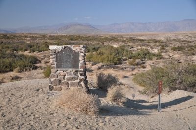
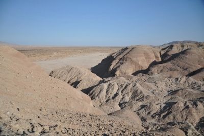
Location. 33° 13.323′ N, 116° 16.205′ W. Marker is in Anza-Borrego Desert State Park, California, in San Diego County. Marker is located on an un-named dirt road withing the boundaries of the Anza-Borrego Desert State Park. Touch for map. Marker is in this post office area: Borrego Springs CA 92004, United States of America. Touch for directions.
Other nearby markers. At least 6 other markers are within 15 miles of this marker, measured as the crow flies. Peg Leg Smith (approx. 5.4 miles away); The Anza Trail (approx. 11 miles away); Los Puertecitos (approx. 11.1 miles away); Santa Catarina (approx. 14.3 miles away); Pictographs (approx. 14.9 miles away); Butterfield Overland Mail Route (approx. 15 miles away).
Credits. This page was last revised on June 16, 2016. It was originally submitted on January 13, 2012, by Michael Kindig of Elk Grove, California. This page has been viewed 969 times since then and 66 times this year. Photos: 1, 2, 3, 4, 5. submitted on January 13, 2012, by Michael Kindig of Elk Grove, California. • Syd Whittle was the editor who published this page.
