Anderson in Anderson County, South Carolina — The American South (South Atlantic)
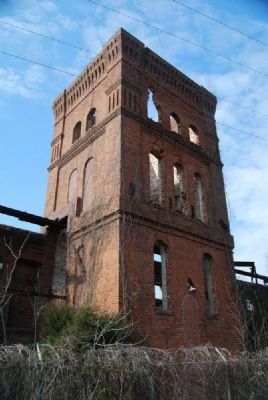
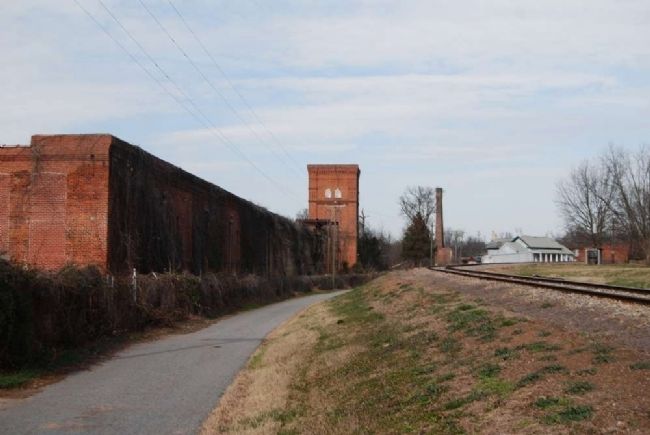
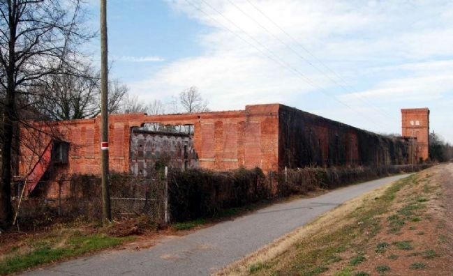
Anderson Mills
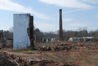
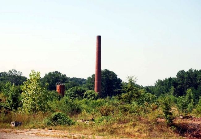
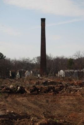
Founded in 1888, Anderson Cotton Mills, later a division of Abney Mills, was the first textile plant established in the town of Anderson. It is said to be the first textile mill in the United States powered by electricity transmitted over long distance power lines. Electricity for the plant was generated at Portman Shoals, located on the Seneca River.
Erected 1978 by Pendleton District Historical and Recreational Commission. (Marker Number 4-18.)
Topics. This historical marker is listed in this topic list: Industry & Commerce. A significant historical year for this entry is 1888.
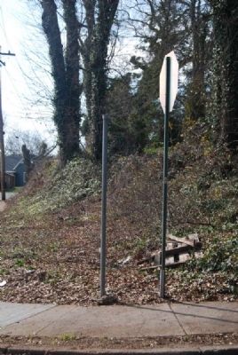
Location. Marker has been reported missing. It was located near 34° 30.45′ N, 82° 39.45′ W. Marker was in Anderson, South Carolina, in Anderson County. Marker was at the intersection of Glenn Street and King Street on Glenn Street. Touch for map. Marker was in this post office area: Anderson SC 29625, United States of America. Touch for directions.
Other nearby markers. At least 10 other markers are within walking distance of this location. Anderson Presbyterian Church Cemetery (approx. 0.3 miles away); In This Burial Ground (approx. 0.3 miles away); First Presbyterian Church (approx. 0.4 miles away); Site of Rose Hill -- 1794 (approx. 0.4 miles away); Building History / Major Frank R Thompson (1903-1977) (approx. 0.4 miles away); Anderson County Farmers Market Pavilion (approx. 0.4 miles away); R J Ginn House (approx. 0.4 miles away); Gambrill House (approx. half a mile away); Blue Ridge Railroad Passenger Station -- c. 1913 (approx. half a mile away); Girls High School (approx. half a mile away). Touch for a list and map of all markers in Anderson.
Regarding Anderson Mills. Marker is missing. However, post remains. Text comes from the South Carolina Highway Historical Marker Guide, published by the South Carolina Department of Archives and History (1998, 2ed.).
Credits. This page was last revised on October 14, 2020. It was originally submitted on January 31, 2012, by Brian Scott of Anderson, South Carolina. This page has been viewed 1,879 times since then and 202 times this year. Photos: 1, 2. submitted on January 31, 2012, by Brian Scott of Anderson, South Carolina. 3. submitted on October 27, 2012, by Brian Scott of Anderson, South Carolina. 4, 5, 6. submitted on January 31, 2012, by Brian Scott of Anderson, South Carolina. 7. submitted on October 27, 2012, by Brian Scott of Anderson, South Carolina.
