South San Jose in Santa Clara County, California — The American West (Pacific Coastal)
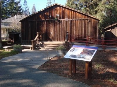
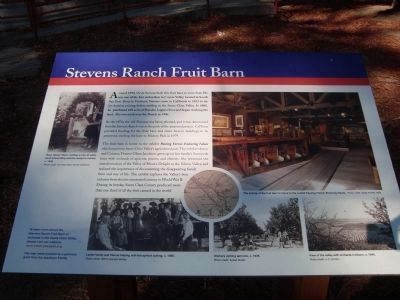
Stevens Ranch Fruit Barn
Photographed By Barry Swackhamer, January 25, 2012
1. Stevens Ranch Fruit Barn Marker
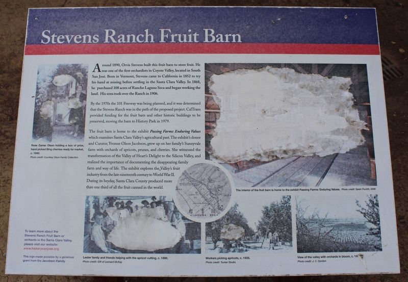
[Photo captions, clockwise from the top left:]
Rose Zamar Olson holding a box of prize, hand picked Bing cherries ready for market, c. 1940. Photo credit: Courtesy Olson Family Collection
Interior of the fruit barn is home to the exhibit Passing Farms: Enduring Values. Photo credit: Sarah Puckett, 2009
View of the valley with orchards in bloom, c. 1940. Photo credit; J.C. Gordon
Workers picking apricots, c. 1935. Photo credit: Tucker Studio
Lester family and friends helping with apricot cutting, c. 1890. Photo credit: Gift of Leonard McKay.
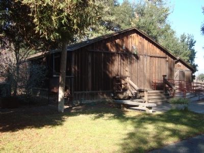
By the 1970s the 101 Freeway was being planned, and it was determined that the Stevens Ranch was in the path of the proposed project. CalTrans provided funding for the fruit barn and other historic buildings to be preserved, moving the barn to History Park in 1979.
The fruit barn is home to the exhibit Passing Farms: Enduring Values which examines Santa Clara Valley’s agricultural past. The exhibit’s donor and Curator, Yvonne Olson Jacobson, grew up on her family’s Sunnyvale farm with orchards of apricots, prunes, and cherries. She witnessed the transformation of the Valley of Heart’s Delight to Silicon Valley, and realized the importance of documenting the disappearing family farm and way of life. The exhibit explores the Valley’s fruit industry from the late nineteenth century to World War II. During its heyday, Santa Clara County produced more than one third of all the fruit canned in the world.
To learn more about the Stevens Ranch Fruit Barn or orchard in the Santa Clara Valley, please visit our website: www.historysanjose.org
This sign made possible by a generous grant from the Jacobson Family.
Erected by San Jose Historical Museum Association.
Topics. This historical marker is listed in this topic list: Agriculture. A significant historical year for this entry is 1890.
Location. 37° 19.259′ N, 121° 51.506′ W. Marker is in San Jose, California, in Santa Clara County. It is in South San Jose. Marker can be reached from Phelan Avenue near Senter Road. Touch for map. Marker is at or near this postal address: 635 Phelan Ave, San Jose CA 95112, United States of America. Touch for directions.
Other nearby markers. At least 8 other markers are within walking distance of this marker. Sakauye Migrant Farm Worker Housing (a few steps from this marker); The Gordon House (within shouting distance of this marker); Empire Firehouse (within shouting distance of this marker); Coyote Post Office (within shouting distance of this marker); The Chiechi House (within shouting distance of this marker); Andrew P. Hill House (within shouting distance of this marker); O’Brien’s (about 300 feet away, measured in a direct line); Edwin Markham House (about 300 feet away). Touch for a list and map of all markers in San Jose.
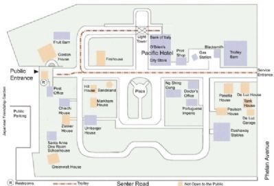
More about this marker. This marker is located in History Park,
a portion of Kelly Park. Open daily 9-4.
Credits. This page was last revised on August 27, 2023. It was originally submitted on February 2, 2012, by Barry Swackhamer of Brentwood, California. This page has been viewed 650 times since then and 22 times this year. Photos: 1. submitted on February 2, 2012, by Barry Swackhamer of Brentwood, California. 2. submitted on August 27, 2023, by Joseph Alvarado of Livermore, California. 3, 4, 5. submitted on February 2, 2012, by Barry Swackhamer of Brentwood, California. • Syd Whittle was the editor who published this page.
