Alta Loma in Galveston County, Texas — The American South (West South Central)
Alta Loma
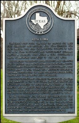
Traveling west from the Gulf of Mexico the land rises gradually and becomes Alta Loma (Spanish for high land) in this area of Galveston County. In 1893 the Alta Loma Investment and Improvement Company platted a townsite here along a Gulf, Colorado & Santa Fe Railroad line built in the late 1870s.
The company developed water, electric, and telephone utility systems and helped establish churches, a depot, hotel, lumber company, general store, school, and a post office. Many of Alta Loma's new residents engaged in the farm production of pears, plums, figs, strawberries, grapes, and other fruits and vegetables.
The school, depot, and businesses throughout Alta Loma were damaged in the 1900 storm. The town rebuilt and witnessed a period of rapid growth fueled by truck farming and a burgeoning dairy industry. Alta Loma and the nearby towns of Algoa and Arcadia formed the Santa Fe Consolidated School District in 1928.
In the 1930s many Alta Lomans left farming for jobs in Texas City's burgeoning petroleum industry. The town continued to grow and in 1966 the Alta Loma Business Association was formed. Alta Loma and its neighboring community, Arcadia, officially merged in 1978 to form the incorporated city of Santa Fe.
Erected 1994 by Texas Historical Commission . (Marker Number 9919.)
Topics. This historical marker is listed in this topic list: Settlements & Settlers. A significant historical year for this entry is 1893.
Location. 29° 22.249′ N, 95° 4.92′ W. Marker is in Alta Loma, Texas, in Galveston County. Marker is at the intersection of Main Street and 16th Street, on the right when traveling south on Main Street. Touch for map. Marker is in this post office area: Santa Fe TX 77510, United States of America. Touch for directions.
Other nearby markers. At least 8 other markers are within 3 miles of this marker, measured as the crow flies. Original Site of First Baptist Church of Alta Loma (approx. 0.3 miles away); Miller-Brautigam Home (approx. 0.4 miles away); Hitchcock Depot (approx. 0.9 miles away); Alta Loma Cemetery (approx. 1.4 miles away); Santa Fe Consolidated High School (approx. 1˝ miles away); Dairy Industry in the Santa Fe Area (approx. 2.2 miles away); Arcadia Christian Church (approx. 2.3 miles away); U.S. Naval Air Station (approx. 2.4 miles away). Touch for a list and map of all markers in Alta Loma.
Credits. This page was last revised on November 21, 2021. It was originally submitted on February 10, 2012, by Jim Evans of Houston, Texas. This page has been viewed 981 times since then and 63 times this year. Photos: 1, 2. submitted on February 10, 2012, by Jim Evans of Houston, Texas. • Craig Swain was the editor who published this page.

