Pensacola in Escambia County, Florida — The American South (South Atlantic)
Luna Expedition
450th Anniversary
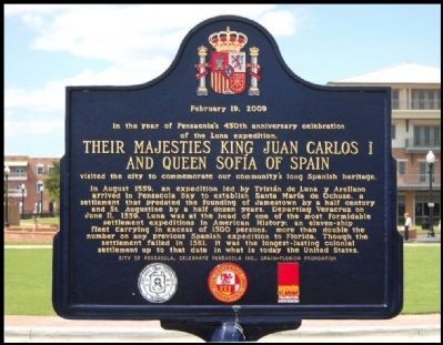
— February 19, 2009 —
In the year of Pensacola's 450th anniversary celebration of the Luna expedition,
Their Majesties King Juan Carlos I and Queen Sofia of Spain
visited the city to commemorate our community's long Spanish heritage.
In August 1559, an expedition led by Tristán de Luna y Arellano arrived in Pensacola Bay to establish Santa María de Ochuse, a settlement that predated the founding of Jamestown by a half century and St. Augustine by a half dozen years. Departing Veracruz on June 11, 1559, Luna was at the head of one of the most formidable settlement expeditions in American History: an eleven-ship fleet carrying in excess of 1500 persons, more than double the number of any previous Spanish expedition to Florida. Though the settlement failed in 1561, it was the longest-lasting colonial settlement up to that date in what is now the United States.
Erected 2009 by The City of Pensacola, Celebrate Pensacola Inc., and the Spain-Florida Foundation.
Topics. This historical marker is listed in these topic lists: Colonial Era • Settlements & Settlers. A significant historical date for this entry is June 11, 1559.
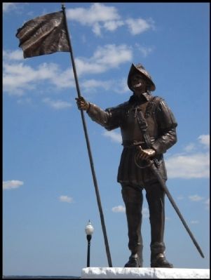
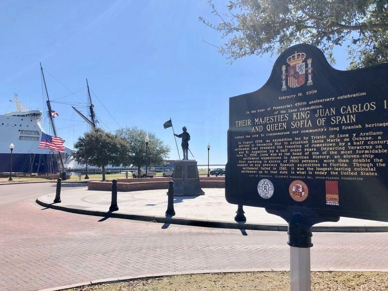
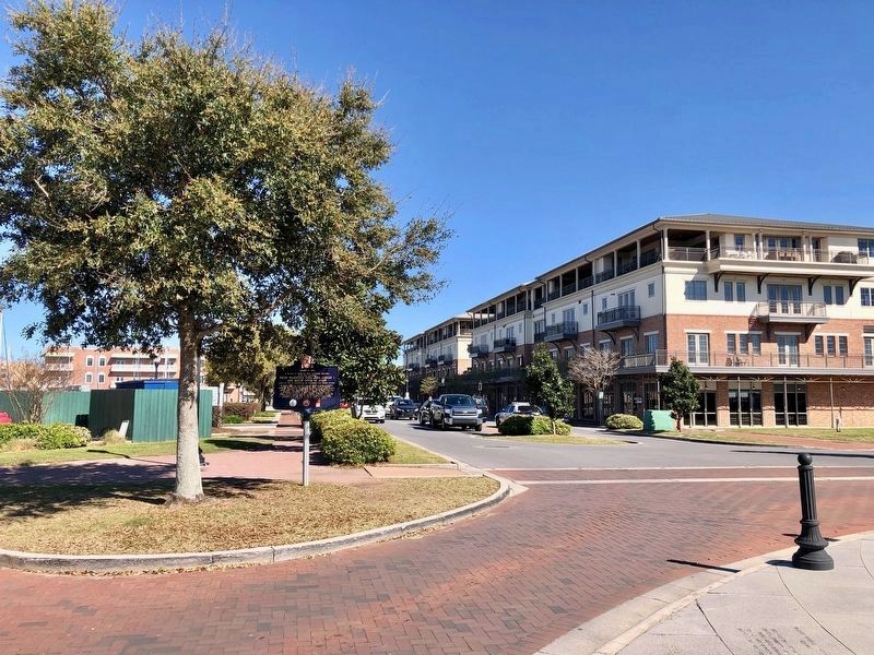
Location. 30° 24.154′ N, 87° 12.788′ W. Marker is in Pensacola, Florida, in Escambia County. Marker is on South Palafox Street near South Jefferson Street, on the right when traveling south. It is located at Plaza de Luna park on the Palafox Pier, near the De Luna Statue. Touch for map. Marker is in this post office area: Pensacola FL 32502, United States of America. Touch for directions.
Other nearby markers. At least 8 other markers are within walking distance of this marker. Middle Passage to Pensacola / African Presence in Colonial Pensacola (a few steps from this marker); USCGC Sebago (WPG/WHEC 42) (within shouting distance of this marker); Trader Jon's (approx. 0.3 miles away); Industry At Sea (approx. 0.3 miles away); Archaeology in a Maritime Community (approx. 0.3 miles away); A New Territory for the U.S. (approx. 0.3 miles away); 407 South Palafox (approx. 0.4 miles away); Pioneer Planing Mills (approx. 0.4 miles away). Touch for a list and map of all markers in Pensacola.
Credits. This page was last revised on March 7, 2019. It was originally submitted on February 9, 2012, by Mike McHugh of Perdido Bay, Florida. This page has been viewed 1,388 times since then and 31 times this year. Last updated on February 11, 2012, by Glenn Sheffield of Tampa, Florida. Photos: 1, 2. submitted on February 9, 2012, by Mike McHugh of Perdido Bay, Florida. 3, 4. submitted on March 6, 2019, by Mark Hilton of Montgomery, Alabama. • Craig Swain was the editor who published this page.


