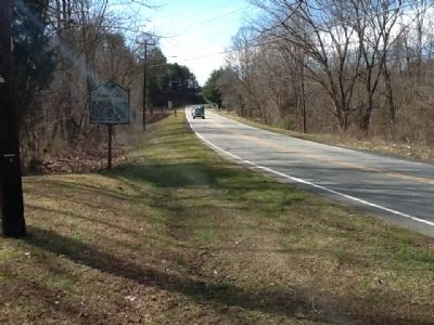
Bethania in Forsyth County, North Carolina — The American South (South Atlantic)
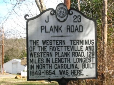
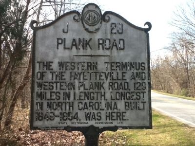
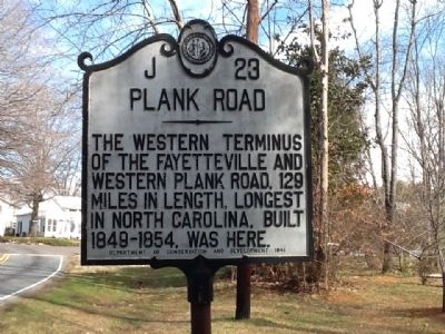
Plank Road
Erected 1941 by NC Department of Conservation and Development, NC State Historical Commission. (Marker Number J-23.)
Topics and series. This historical marker is listed in this topic list: Roads & Vehicles. In addition, it is included in the North Carolina Division of Archives and History series list.
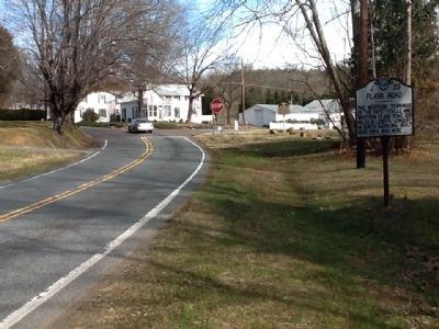
Location. 36° 10.716′ N, 80° 20.378′ W. Marker is in Bethania, North Carolina, in Forsyth County. Marker is at the intersection of Bethania Road and Main Street, on the right when traveling east on Bethania Road. Touch for map. Marker is in this post office area: Bethania NC 27010, United States of America. Touch for directions.
Other nearby markers. At least 8 other markers are within walking distance of this marker. Stoneman's Raid (within shouting distance of this marker); Lord Cornwallis (within shouting distance of this marker); Bethania (within shouting distance of this marker); a different marker also named Bethania (within shouting distance of this marker); Wolff-Moser House (within shouting distance of this marker); Alpha Chapel (within shouting distance of this marker); Great Wagon Road (approx. 0.3 miles away); Cedar Grove School (approx. half a mile away). Touch for a list and map of all markers in Bethania.
Also see . . . when it was on a dirt road. (Submitted on April 5, 2012, by Michael C. Wilcox of Winston-Salem, North Carolina.)
Credits. This page was last revised on June 21, 2021. It was originally submitted on February 11, 2012, by Michael C. Wilcox of Winston-Salem, North Carolina. This page has been viewed 679 times since then and 26 times this year. Photos: 1, 2, 3, 4, 5. submitted on February 11, 2012, by Michael C. Wilcox of Winston-Salem, North Carolina. • Craig Swain was the editor who published this page.
