Palm Springs in Riverside County, California — The American West (Pacific Coastal)
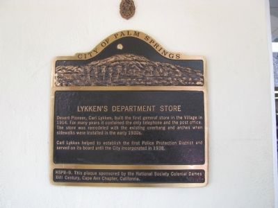
Lykken’s Department Store
Carl Lykken helped to establish the first Police Protection District and served on it board until the City incorporated in 1938.
Erected by city of Palm Springs & National Society Colonial Dames XVII Century. Cape Ann Chapter, Califorina. (Marker Number HSPB-9.)
Topics. This historical marker is listed in these topic lists: Communications • Industry & Commerce • Law Enforcement • Settlements & Settlers. A significant historical year for this entry is 1914.
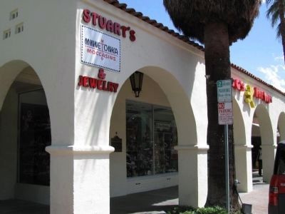
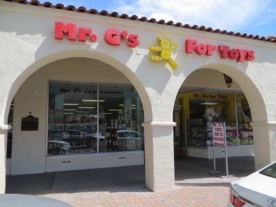
Location. 33° 49.474′ N, 116° 32.803′ W. Marker is in Palm Springs, California, in Riverside County. Marker is on 182 North Palm Canyon Drive (Business California Route 111), on the left when traveling south. Touch for map. Marker is at or near this postal address: North Palm Canyon Drive, Palm Springs CA 92262, United States of America. Touch for directions.
Other nearby markers. At least 8 other markers are within walking distance of this marker. Site of First Community Church (within shouting distance of this marker); The Desert Inn (about 500 feet away, measured in a direct line); Welwood Murray Memorial Library (about 600 feet away); Oasis Hotel (about 700 feet away); Plaza Theatre (about 700 feet away); Palm Springs Desert Museum (approx. 0.2 miles away); The O'Donnell Golf Course (approx. 0.2 miles away); "Above and Beyond" (approx. 0.2 miles away). Touch for a list and map of all markers in Palm Springs.
Credits. This page was last revised on November 7, 2019. It was originally submitted on February 17, 2012, by Denise Boose of Tehachapi, California. This page has been viewed 769 times since then and 46 times this year. Photos: 1, 2. submitted on February 17, 2012, by Denise Boose of Tehachapi, California. 3. submitted on April 4, 2015, by Bill Kirchner of Tucson, Arizona. • Syd Whittle was the editor who published this page.


