
Tehachapi in Kern County, California — The American West (Pacific Coastal)
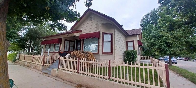
Peery House
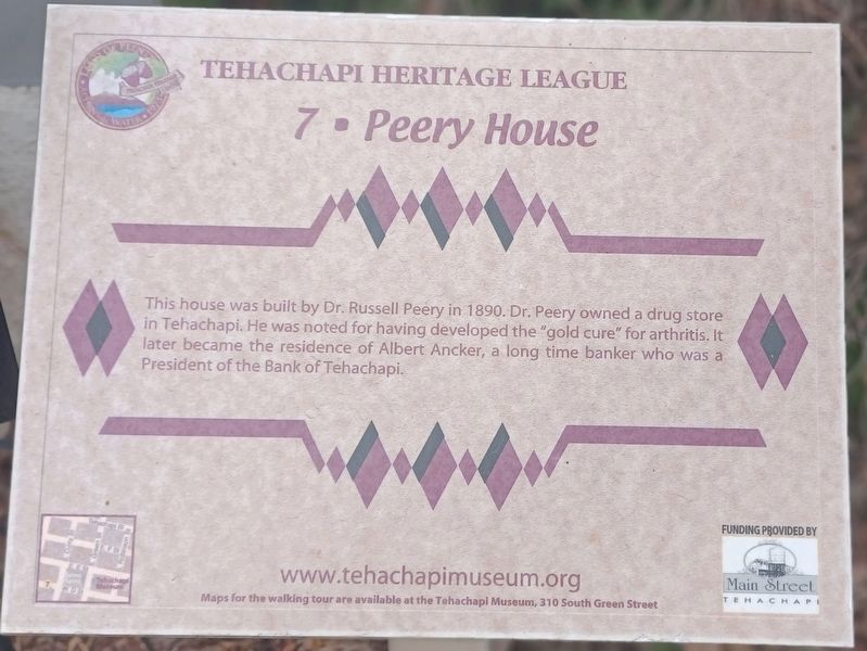
Photographed by Denise Boose, September 10, 2023
1. Peery House Marker
Erected by Tehachapi Heritage League. (Marker Number 7.)
Topics. This historical marker is listed in this topic list: Settlements & Settlers. A significant historical year for this entry is 1890.
Location. 35° 7.736′ N, 118° 26.994′ W. Marker is in Tehachapi, California, in Kern County. It is on South Curry Street south of East D Street, on the right when traveling south. Touch for map. Marker is at or near this postal address: 401 South Curry Street, Tehachapi CA 93561, United States of America. Touch for directions.

Regionally, this marker is in California’s San Joaquin Valley, specifically in the Central Valley, and in the Sierra Nevada. It is also on the American Pacific Coast. Globally, it is in North America, on the Ring of Fire, in the Pacific Rim, in the Western Hemisphere, in the Western World, and in the Anglosphere. Historically,
this page online
Other nearby markers. At least 8 other markers are within walking distance of this marker: Early High School (a few steps from this marker); B.M. Denison House & 1880's House (within shouting distance of this marker); Two 1890's Houses (about 500 feet away); First Methodist & Episcopal Church (about 600 feet away); The Kawaiisu (about 600 feet away); Errea House (about 600 feet away); August Weferling House (about 600 feet away); Wind Energy Industry (about 600 feet away). Touch for a list and map of all markers in Tehachapi.
Other markers no longer nearby. McFarland House & Late 1880s House (was about 500 feet away, measured in a direct line but has been confirmed missing); Tehachapi Hospital (was about 600 feet away but has been confirmed missing).
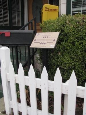
Photographed by Denise Boose, February 18, 2012
2. Peery House Marker
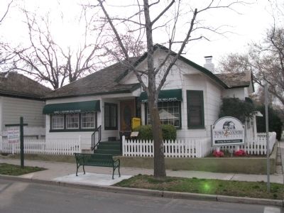
Photographed by Denise Boose, February 18, 2012
3. Peery House
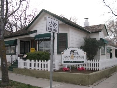
Photographed by Denise Boose, February 18, 2012
4. Peery House & Marker
Photographed by Denise Boose, September 10, 2023
5. Peery House Marker
Credits. This page was last revised on September 25, 2023. It was originally submitted on February 19, 2012, by Denise Boose of Tehachapi, California. This page has been viewed 769 times since then and 18 times this year. Photos: 1. submitted on September 10, 2023, by Denise Boose of Tehachapi, California. 2, 3, 4. submitted on February 19, 2012, by Denise Boose of Tehachapi, California. 5. submitted on September 10, 2023, by Denise Boose of Tehachapi, California. • Syd Whittle was the editor who published this page.
