Near Chocowinity in Beaufort County, North Carolina — The American South (South Atlantic)
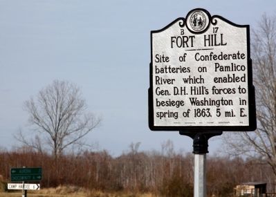
Fort Hill
Erected 1952 by Archives, Conservation and Highway Departments. (Marker Number B-17.)
Topics and series. This historical marker is listed in this topic list: War, US Civil. In addition, it is included in the North Carolina Division of Archives and History series list. A significant historical year for this entry is 1863.
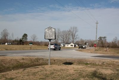
Location. 35° 27.39′ N, 77° 3.508′ W. Marker is near Chocowinity, North Carolina, in Beaufort County. Marker is at the intersection of State Highway 33 and Windmill Road (County Road 1124) on State Highway 33. Touch for map. Marker is in this post office area: Chocowinity NC 27817, United States of America. Touch for directions.
Other nearby markers. At least 8 other markers are within 6 miles of this marker, measured as the crow flies. Trinity School (approx. 4˝ miles away); Trinity Church (approx. 4.7 miles away); Trinity Cemetery (approx. 5.4 miles away); Jack's Creek (approx. 5.7 miles away); Washington, North Carolina (approx. 5.8 miles away); Siege of Washington (approx. 5.8 miles away); Josephus Daniels (approx. 5.8 miles away); Free Church (approx. 5.9 miles away). Touch for a list and map of all markers in Chocowinity.
Credits. This page was last revised on February 22, 2021. It was originally submitted on February 19, 2012, by J. J. Prats of Powell, Ohio. This page has been viewed 974 times since then and 82 times this year. Photos: 1, 2. submitted on February 19, 2012, by J. J. Prats of Powell, Ohio.
Editor’s want-list for this marker. Photos of remains of batteries riverside. • Can you help?

