McKenzie in Carroll County, Tennessee — The American South (East South Central)
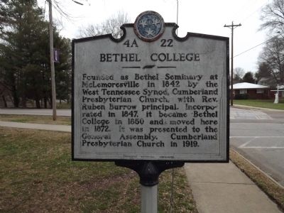
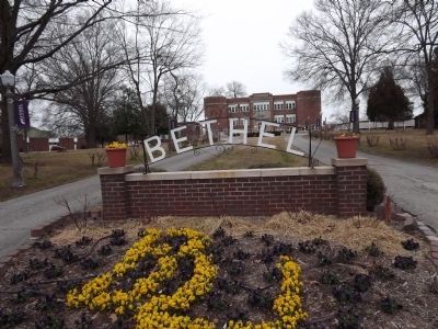
Bethel College
Erected by Tennessee Historical Commission. (Marker Number 4A 22.)
Topics and series. This historical marker is listed in these topic lists: Churches & Religion • Education. In addition, it is included in the Tennessee Historical Commission series list. A significant historical year for this entry is 1842.
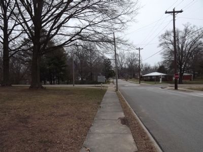
Location. 36° 8.204′ N, 88° 30.99′ W. Marker is in McKenzie, Tennessee, in Carroll County. Marker is at the intersection of Cherry Avenue and College Drive, on the right when traveling west on Cherry Avenue. Touch for map. Marker is at or near this postal address: 325 Cherry Ave, Mc Kenzie TN 38201, United States of America. Touch for directions.
Other nearby markers. At least 8 other markers are within 9 miles of this marker, measured as the crow flies. James Monroe McKenzie (approx. 0.3 miles away); McKenzie's Station (approx. 0.4 miles away); Harris-Collier-Holland Farm (approx. 0.7 miles away); Webb School (approx. 1.4 miles away); Forrest's Raid (approx. 1˝ miles away); Clear Lake (approx. 1.6 miles away); Christmasville (approx. 7 miles away); Janes Mill (approx. 8.4 miles away). Touch for a list and map of all markers in McKenzie.
Related markers. Click here for a list of markers that are related to this marker. To better understand the relationship, study each marker in the order shown.
Also see . . . Bethel University. (Submitted on February 20, 2012, by Bernard Fisher of Richmond, Virginia.)
Credits. This page was last revised on March 25, 2022. It was originally submitted on February 20, 2012, by Ken Smith of Milan, Tennessee. This page has been viewed 717 times since then and 24 times this year. Photos: 1, 2, 3. submitted on February 20, 2012, by Ken Smith of Milan, Tennessee. • Bernard Fisher was the editor who published this page.


