Santa Clara in Santa Clara County, California — The American West (Pacific Coastal)
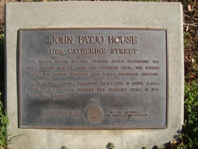
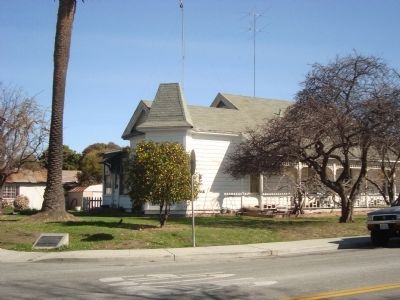
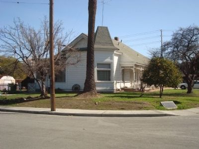
John Fatjo House
1786 Catherine Street
Erected 1985 by Santa Clara Historical and Landmark Commission.
Topics. This historical marker is listed in this topic list: Notable Buildings. A significant historical year for this entry is 1860.
Location. 37° 20.996′ N, 121° 57.343′ W. Marker is in Santa Clara, California, in Santa Clara County. Marker is at the intersection of Catherine Street and Pierce Street on Catherine Street. Touch for map. Marker is at or near this postal address: 1786 Catherine Street, Santa Clara CA 95050, United States of America. Touch for directions.
Other nearby markers. At least 8 other markers are within walking distance of this marker. Morgan House (about 600 feet away, measured in a direct line); The Battle of Santa Clara (approx. 0.2 miles away); Armistice Oak Tree Site (approx. 0.2 miles away); “Cowboy Jim” Donovan (approx. 0.2 miles away); Santa Clara Campaign Treaty Site (approx. 0.2 miles away); Saint Clare (approx. 0.2 miles away); De Anza Expedition 1775 – 1776 (approx. 0.2 miles away); Carmelite Monastery – Bond Ranch (approx. ¼ mile away). Touch for a list and map of all markers in Santa Clara.
Credits. This page was last revised on June 16, 2016. It was originally submitted on February 23, 2012, by Barry Swackhamer of Brentwood, California. This page has been viewed 972 times since then and 46 times this year. Photos: 1, 2, 3. submitted on February 23, 2012, by Barry Swackhamer of Brentwood, California. • Syd Whittle was the editor who published this page.


