
Trinity in Trinity County, Texas — The American South (West South Central)
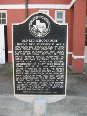
Old Red Schoolhouse
Photographed by Steve Gustafson, September 18, 2011
1. Old Red Schoolhouse Marker
Erected 2004 by Texas Historical Commission. (Marker Number 15316.)
Topics. This historical marker is listed in this topic list: Education. A significant historical year for this entry is 1872.
Location. 30° 56.57′ N, 95° 22.518′ W. Marker is in Trinity, Texas, in Trinity County. It is at the intersection of South Robb Street (State Highway 19) and West Jefferson Street, on the
this page online

Regionally, this marker is in the American South and in the Piney Woods. Globally, it is in North America, a Gulf of Mexico state, the Western Hemisphere, the Western World, and the Anglosphere. Historically, it finds itself in what was once New Spain, the Republic of Texas, one of the Confederate States of America, and the Antebellum South.
Other nearby markers. At least 8 other markers are within walking distance of this marker: Ranald McDonald House (approx. 0.2 miles away); Site of Gibson Hotel (approx. 0.2 miles away); Waco, Beaumont, Trinity & Sabine Railroad (approx. 0.2 miles away); First United Methodist Church of Trinity (approx. ¼ mile away); Charles Nesbitt "Charlie" Wilson (approx. ¼ mile away); Dorcas Wills Memorial Baptist Church (approx. ¼ mile away); I.N. Parker House (approx. 0.3 miles away); Black Veteran's Memorial Park (approx. 0.3 miles away). Touch for a list and map of all markers in Trinity.
Photographed by Steve Gustafson, September 18, 2011
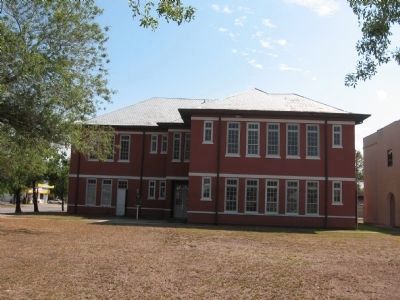
2. Old Red Schoolhouse
Marker located left of the entrance door.
Photographed by Steve Gustafson, September 18, 2011
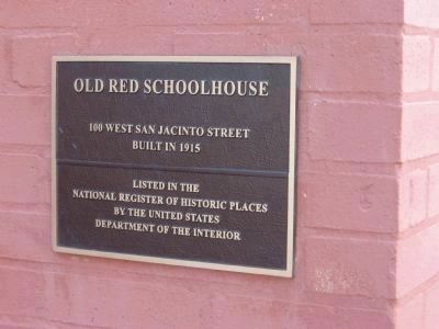
3. Old Red Schoolhouse
Built in 1915
Listed in the
National Register of Historic Places
by the United States
Department of the Interior
Credits. This page was last revised on June 16, 2016. It was originally submitted on February 26, 2012, by Steve Gustafson of Lufkin, Texas. This page has been viewed 1,844 times since then and 102 times this year. Photos: 1, 2, 3. submitted on February 26, 2012, by Steve Gustafson of Lufkin, Texas. • Bernard Fisher was the editor who published this page.
