Lewisville in Forsyth County, North Carolina — The American South (South Atlantic)
Vogler-Reynolds House
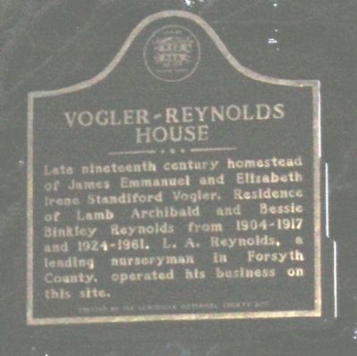
Photographed by Michael C. Wilcox, February 23, 2012
1. Vogler-Reynolds House Marker
Erected 2011 by Lewisville Historical Society.
Topics. This historical marker is listed in these topic lists: Horticulture & Forestry • Industry & Commerce • Settlements & Settlers.
Location. 36° 5.092′ N, 80° 24.392′ W. Marker is in Lewisville, North Carolina, in Forsyth County. It is at the intersection of Reynolds Road and Manarda Circle, on the left when traveling north on Reynolds Road. Touch for map. Marker is in this post office area: Lewisville NC 27023, United States of America. Touch for directions.

Regionally, this marker is in the Piedmont and specifically in Piedmont Triad. It is also in the American South and specifically in the Upper South. Globally, it is in North America, the Western Hemisphere, the Western World, and the Anglosphere. Historically, it finds itself
this page online
Other nearby markers. At least 8 other markers are within 2 miles of this marker, measured as the crow flies: Site of Lewisville Academy (approx. one mile away); Lewisville Baptist Church (approx. 1.1 miles away); Lewisville United Methodist Church (approx. 1.1 miles away); Lewis C. Laugenour House (approx. 1.1 miles away); Lewisville Roller Mill (approx. 1.1 miles away); "Battle Cross" (approx. 1.2 miles away); POW-MIA Memorial (approx. 1.2 miles away); George Mock House (approx. 1.2 miles away). Touch for a list and map of all markers in Lewisville.
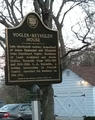
Photographed by Michael C. Wilcox, February 23, 2012
2. Vogler-Reynolds House Marker
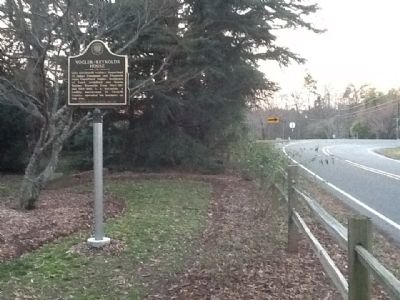
Photographed by Michael C. Wilcox, February 23, 2012
3. Vogler-Reynolds House Marker
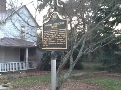
Photographed by Michael C. Wilcox, February 23, 2012
4. Vogler-Reynolds House Marker
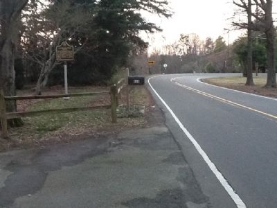
Photographed by Michael C. Wilcox, February 23, 2012
5. Vogler-Reynolds House Marker
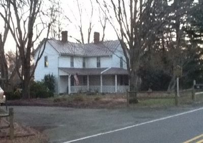
Photographed by Michael C. Wilcox, February 23, 2012
6. Vogler-Reynolds House Marker
Credits. This page was last revised on May 5, 2021. It was originally submitted on February 27, 2012, by Michael C. Wilcox of Winston-Salem, North Carolina. This page has been viewed 1,530 times since then and 77 times this year. Photos: 1, 2, 3, 4, 5, 6. submitted on February 27, 2012, by Michael C. Wilcox of Winston-Salem, North Carolina. • Craig Swain was the editor who published this page.
