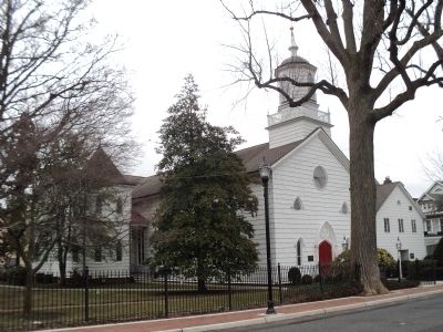
Freehold in Monmouth County, New Jersey — The American Northeast (Mid-Atlantic)
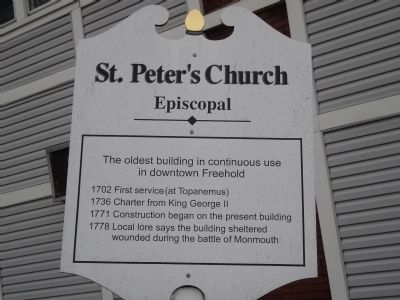
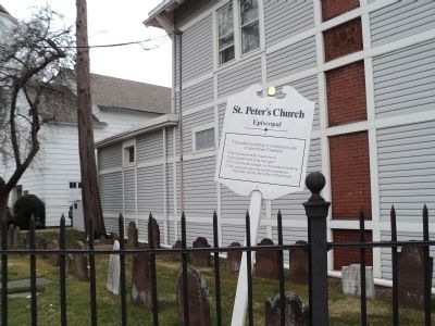
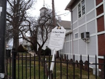
St. Peterís Church
Episcopal
1702 † First service (at Topanemus)
1736 † Charter from King George II
1771 † Construction began on the present building
1778 † Local lore says the building sheltered wounded during the battle of Monmouth
Topics. This historical marker is listed in these topic lists: Churches & Religion • War, US Revolutionary. A significant historical year for this entry is 1702.
Location. 40° 15.556′ N, 74° 16.545′ W. Marker is in Freehold, New Jersey, in Monmouth County. Marker is at the intersection of W Main Street (County Route 537) and Throckmorton Street, on the right when traveling south on W Main Street. Touch for map. Marker is in this post office area: Freehold NJ 07728, United States of America. Touch for directions.
Other nearby markers. At least 8 other markers are within walking distance of this marker. Historic St. Peterís Episcopal Church (within shouting distance of this marker); Corp. James A. Gere (within shouting distance of this marker); Monmouth Court House Site (about 500 feet away, measured in a direct line); Columbia Triumphant Park and Statue (about 700 feet away); Revolutionary Ancestors of Monmouth Court House (approx. 0.3 miles away); Monmouth Battle Monument (approx. 0.3 miles away); Battle of Monmouth Monument (approx. 0.3 miles away); Abraham Lincoln (approx. 0.3 miles away). Touch for a list and map of all markers in Freehold.
Also see . . . The Battle of Monmouth. New Jersey during the Revolution. (Submitted on March 2, 2012, by Bill Coughlin of Woodland Park, New Jersey.)
Credits. This page was last revised on June 16, 2016. It was originally submitted on March 2, 2012, by Bill Coughlin of Woodland Park, New Jersey. This page has been viewed 675 times since then and 19 times this year. Photos: 1, 2, 3, 4, 5. submitted on March 2, 2012, by Bill Coughlin of Woodland Park, New Jersey.
