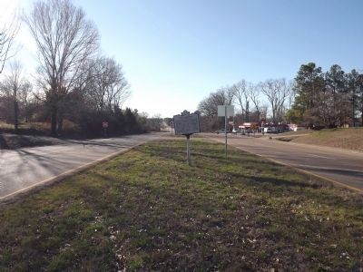
Near Jackson in Madison County, Tennessee — The American South (East South Central)
John Murrell
Erected by Tennessee Historical Commission. (Marker Number 4D 11.)
Topics and series. This historical marker is listed in these topic lists: African Americans • Law Enforcement • Settlements & Settlers. In addition, it is included in the Tennessee Historical Commission series list. A significant historical year for this entry is 1804.
Location. 35° 36.683′ N, 88° 55.977′ W. Marker is near Jackson, Tennessee, in Madison County. Marker is at the intersection of Airways Boulevard (U.S. 70) and Technology Center Drive, in the median on Airways Boulevard. Touch for map. Marker is in this post office area: Jackson TN 38301, United States of America. Touch for directions.
Other nearby markers. At least 8 other markers are within 6 miles of this marker, measured as the crow flies. Holding The Railroads (approx. 2.6 miles away); Campbell's Levee Bridge (approx. 4.6 miles away); Jackson (approx. 5˝ miles away); Carl Lee Perkins (approx. 5˝ miles away); Home of Casey Jones (approx. 5˝ miles away); Reelfoot and Laughing Eyes (approx. 5˝ miles away); This Log Cabin was from Henderson County (approx. 5˝ miles away); Camp Beauregard (approx. 5.8 miles away). Touch for a list and map of all markers in Jackson.
Also see . . . John Murrell (bandit). wikipedia (Submitted on March 5, 2012, by Bernard Fisher of Richmond, Virginia.)
Additional keywords. outlaws and renegades
Credits. This page was last revised on December 17, 2019. It was originally submitted on March 3, 2012, by Ken Smith of Milan, Tennessee. This page has been viewed 877 times since then and 34 times this year. Photos: 1, 2. submitted on March 3, 2012, by Ken Smith of Milan, Tennessee. • Bernard Fisher was the editor who published this page.

