Wall Township in Monmouth County, New Jersey — The American Northeast (Mid-Atlantic)
Watersheds
Coastal Habitats
A Limited Resource
Water covers almost three quarters of the earth’s surface, but only three percent of it is fresh water, and less than one third of that is usable. The remaining fresh water is locked up as snow and ice at the polar regions.
All living things depend on water to survive. It is important to realize that our water resources are limited, and that we impact water quality and availability in subtle and sometimes far reaching ways. For example, mercury (a poisonous metal) is released into the atmosphere as a by-product of burning coal, and can be carried by the wind for hundreds of miles before raining down with rain or snow and contaminating streams, rivers, lakes, the ocean, and ultimately the seafood we may eat.
Half of the rainwater falling on the 2,400 square mile Pine Barrens region seeps through the porous soil into the Cohansey Aquifer. Surface runoff and seepage from this aquifer are the sources for all of Southern New Jersey’s rivers flowing to the sea and Delaware Bay. The Cohansey and its deeper counterpart, the Kirkwood, also supply most of Southern New Jersey’s drinking water.
Erected by State of New Jersey, Division of Parks & Forestry, National Park Service.
Topics. This historical marker is listed in this topic list: Waterways & Vessels .
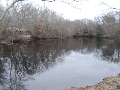
Location. 40° 9.531′ N, 74° 8.061′ W. Marker is in Wall Township, New Jersey, in Monmouth County. Marker can be reached from County Route 524, on the left when traveling west. Marker is located in Allaire State Park, near the Nature Center. Touch for map. Marker is in this post office area: Farmingdale NJ 07727, United States of America. Touch for directions.
Other nearby markers. At least 8 other markers are within walking distance of this marker. The Garden State (within shouting distance of this marker); Wandering Warblers (within shouting distance of this marker); Songs Of The Season (about 400 feet away, measured in a direct line); Stone Blocks from the Camden and Amboy Railroad (approx. 0.2 miles away); 3-Sided Watchman’s Shanty (approx. ¼ mile away); Freneau Station (approx. ¼ mile away); Union Newsstand (approx. ¼ mile away); Allentown Station (approx. ¼ mile away). Touch for a list and map of all markers in Wall Township.
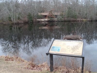
More about this marker. A diagram at the lower left of the marker illustrates the water cycle. It indicates ground water, evaporation, precipitation and transpiration. It has a caption of “In a forest ecosystem, up to one-half of the water cycles into the atmosphere through the vegetation in a process called transpiration.”
A map of lower New Jersey appears on the right side of the marker with the caption “Using
this map, you can trace the origins of the water before you.”
Also see . . . New Jersey Coastal Heritage Trail Route. National Park Service website. (Submitted on March 3, 2012, by Bill Coughlin of Woodland Park, New Jersey.)
Credits. This page was last revised on February 7, 2023. It was originally submitted on March 3, 2012, by Bill Coughlin of Woodland Park, New Jersey. This page has been viewed 333 times since then and 11 times this year. Photos: 1, 2, 3, 4, 5, 6. submitted on March 3, 2012, by Bill Coughlin of Woodland Park, New Jersey.

