Coloma in El Dorado County, California — The American West (Pacific Coastal)
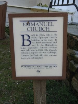
Emmanuel Church
Erected by Marshall Gold Discovery State Historic Park.
Topics. This historical marker is listed in this topic list: Churches & Religion. A significant historical year for this entry is 1855.
Location. 38° 47.822′ N, 120° 53.459′ W. Marker is in Coloma, California, in El Dorado County. Marker is on Church Street east of High Street, on the left when traveling west. Touch for map. Marker is at or near this postal address: 365 Church Street, Coloma CA 95613, United States of America. Touch for directions.
Other nearby markers. At least 8 other markers are within walking distance of this marker. Saint John's Church (about 500 feet away, measured in a direct line); Sutter Mill Cemetery – 1848 (about 500 feet away); Pioneer Cemetery (about 500 feet away); Coloma’s Pioneer Cemetery (about 500 feet away); Mining Ditches (about 500 feet away); The Miller House (about 500 feet away); Saint John’s Cemetery (about 500 feet away); Noteware-Thomas House (about 500 feet away). Touch for a list and map of all markers in Coloma.
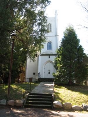
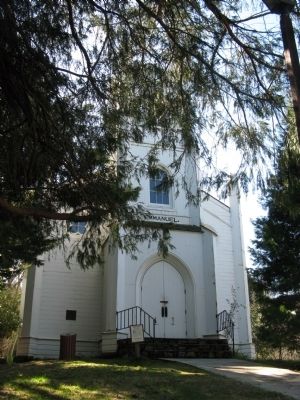
Regarding Emmanuel Church. The Emmanuel Church was built in 1855 by Episcopalians and Methodists. Rev. Charles Caleb Peirce was one of the first ministers. In 1921 this building became the property of the Methodists, who made extensive improvements. Today, this church is cared for by the Marshall Gold Discovery State Historic Park Superintendent. The church is open to the public with docents greeting visitors dressed in the period costume of the gold rush era.
Credits. This page was last revised on June 16, 2016. It was originally submitted on March 3, 2012, by Syd Whittle of Mesa, Arizona. This page has been viewed 1,059 times since then and 45 times this year. Photos: 1, 2, 3. submitted on March 3, 2012, by Syd Whittle of Mesa, Arizona.


