Near Duncan in Platte County, Nebraska — The American Midwest (Upper Plains)
Gardiner School
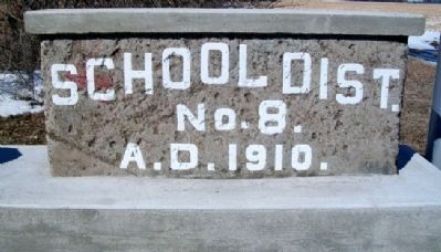
Platte County School District No. 8
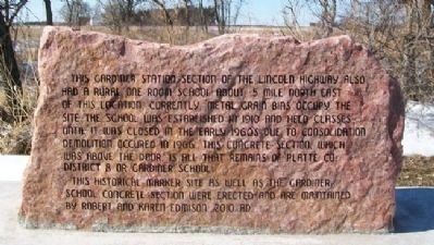
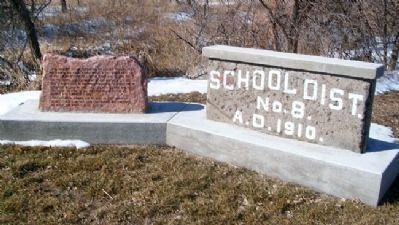
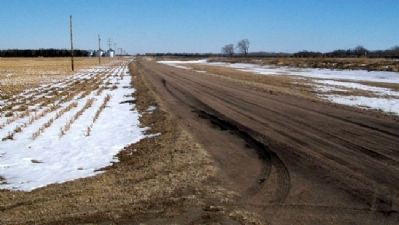
This Gardiner Station Section of the Lincoln Highway also had a rural one room school about .5 mile north east of this location. Currently grain bins occupy the site. The school was established in 1910 and held classes until it was closed in the early 1960s due to consolidation. Demolition occured [sic] in 1966. This concrete section, which was above the door, is all that remains of Platte Co. District 8 or Gardiner School.
This historical marker site as well as the Gardiner School concrete section were erected and are maintained by Robert and Karen Edmison.
Erected 2010 by Robert and Karen Edmison.
Topics and series. This historical marker is listed in these topic lists: Education • Roads & Vehicles. In addition, it is included in the Lincoln Highway series list. A significant historical year for this entry is 1910.
Location. 41° 21.212′ N, 97° 34.649′ W. Marker is near Duncan, Nebraska, in Platte County. Marker is on U.S. Hwy 30 Frontage Road (original Lincoln Hwy), 0.1 miles east of the intersection of 355th Avenue and 115th Street, on the left when traveling east. Marker is along Prairie Creek, about five miles southwest of Duncan. Touch for map. Marker is in this post office area: Duncan NE 68634, United States of America. Touch for directions.
Other nearby markers. At least 8 other markers are within 12 miles of this marker, measured as the crow flies. The Lincoln Highway - Gardiner Station Section (here, next to this marker); Duncan (approx. 5.1 miles away); Lincoln Highway (approx. 5.1 miles away); 1776 Bicentennial 1976 (approx. 5.1 miles away); U. S. Indian Industrial School Building (approx. 10.1 miles away); Genoa: 1857-1859 (approx. 10.2 miles away); Pawnee (approx. 10.3 miles away); Osceola And The Early Pioneers (approx. 11.8 miles away). Touch for a list and map of all markers in Duncan.
Credits. This page was last revised on August 13, 2020. It was originally submitted on March 4, 2012, by William Fischer, Jr. of Scranton, Pennsylvania. This page has been viewed 528 times since then and 27 times this year. Photos: 1, 2, 3, 4. submitted on March 4, 2012, by William Fischer, Jr. of Scranton, Pennsylvania.


