
Jamestown in Tuolumne County, California — The American West (Pacific Coastal)
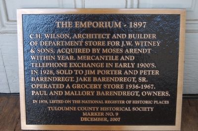
The Emporium – 1897
Photographed by Barry Swackhamer, March 2, 2012
1. The Emporium – 1897 Marker
Erected 2007 by Tuolumne County Historical Society. (Marker Number 9.)
Topics. This historical marker is listed in this topic list: Industry & Commerce. A significant historical year for this entry is 1928.
Location. 37° 57.165′ N, 120° 25.4′ W. Marker is in Jamestown, California, in Tuolumne County. It can be reached from Main Street west of Lemon Drop Lane, on the left when traveling east. Touch for map. Marker is at or near this postal address: 18184 Main Street, Jamestown CA 95327, United States of America. Touch for directions.

Regionally, this marker is in California’s Sierra Nevada. It is also in the American Mountain West. Globally, it is in North America, on the Ring of Fire, in the Pacific Rim, in the Western Hemisphere, in
this page online
Other nearby markers. At least 8 other markers are within walking distance of this marker: National Hotel (within shouting distance of this marker); Ramirez – Preston Building (within shouting distance of this marker); Jamestown Hotel (within shouting distance of this marker); Jamestown (within shouting distance of this marker); Jamestown Museum (within shouting distance of this marker); Rocca Park (within shouting distance of this marker); Jamestown Branch Jail (about 300 feet away, measured in a direct line); a different marker also named Jamestown (about 400 feet away). Touch for a list and map of all markers in Jamestown.
Photographed by Barry Swackhamer, March 2, 2012
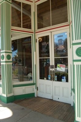
2. The Emporium – 1897 Marker
Photographed by Barry Swackhamer, March 2, 2012
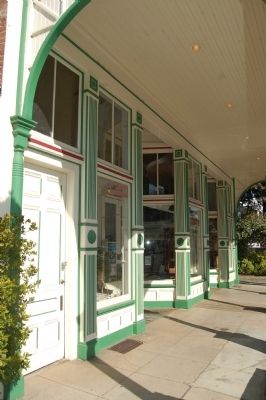
3. The Emporium
Photographed by Barry Swackhamer, March 2, 2012
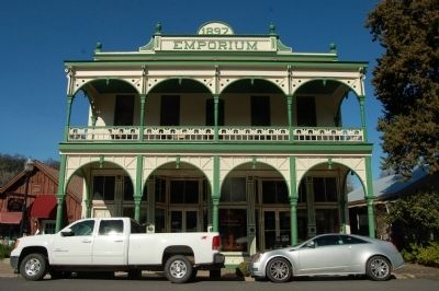
4. The Emporium
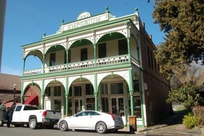
Photographed by Barry Swackhamer, March 2, 2012
5. The Emporium
Photographed by Barry Swackhamer, March 2, 2012
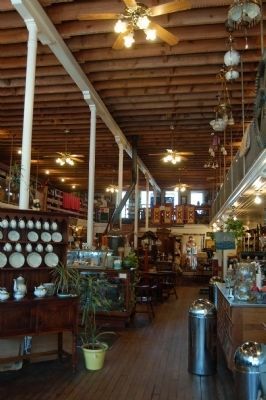
6. The Interior of the Emporium
Now an antique shop.
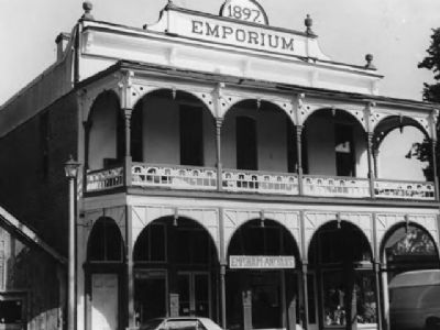
National Register of Historic Places
7. The Emporium
Credits. This page was last revised on June 16, 2016. It was originally submitted on March 7, 2012, by Barry Swackhamer of Brentwood, California. This page has been viewed 1,220 times since then and 31 times this year. Photos: 1, 2, 3, 4, 5, 6. submitted on March 7, 2012, by Barry Swackhamer of Brentwood, California. 7. submitted on March 10, 2012. • Syd Whittle was the editor who published this page.
