Mt. Airy in Surry County, North Carolina — The American South (South Atlantic)
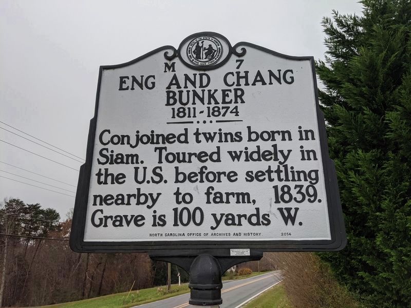
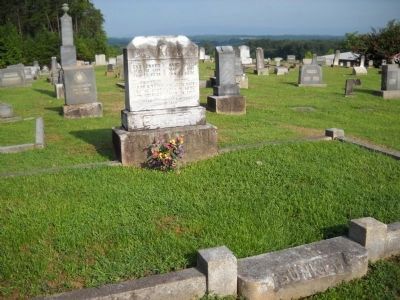
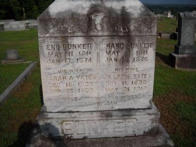
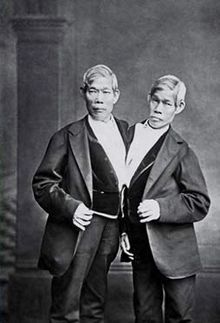
Eng and Chang Bunker
1811-1874
Erected 2014 by North Carolina Office of Archives and History. (Marker Number M-7.)
Topics and series. This historical marker is listed in this topic list: Cemeteries & Burial Sites. In addition, it is included in the North Carolina Division of Archives and History series list. A significant historical year for this entry is 1811.
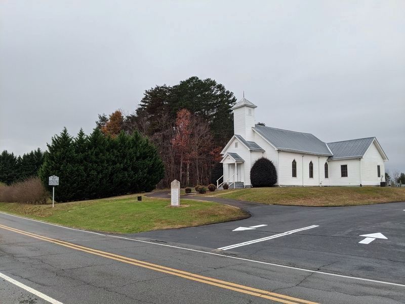
Location. 36° 27.173′ N, 80° 37.751′ W. Marker is in Mt. Airy, North Carolina, in Surry County. Marker is on Old Highway 601, on the right when traveling north. Marker is located in front of the White Plains Baptist Church. Touch for map. Marker is at or near this postal address: 614 Old Highway 601, Bethania NC 27010, United States of America. Touch for directions.
Other nearby markers. At least 8 other markers are within 4 miles of this marker, measured as the crow flies. Stoneman’s Raid (approx. 3.3 miles away); The Andy Griffith Show (approx. 3.3 miles away); Historic Earle Theater (approx. 3.4 miles away); Easter Brothers (approx. 3˝ miles away); The Mill Worker (approx. 3˝ miles away); Floyd Eugene "Flip" Rees (approx. 3˝ miles away); Donna Fargo (approx. 3˝ miles away); Ralph Epperson (approx. 3.6 miles away). Touch for a list and map of all markers in Mt. Airy.
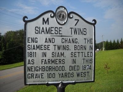
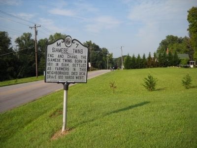
More about this marker. The previous "Siamese Twins" marker has been replaced with this one.
Credits. This page was last revised on July 2, 2021. It was originally submitted on August 6, 2010, by Bill Coughlin of Woodland Park, New Jersey. This page has been viewed 1,478 times since then and 48 times this year. Last updated on March 10, 2012, by Michael C. Wilcox of Winston-Salem, North Carolina. Photos: 1, 2. submitted on November 27, 2020, by Mike Wintermantel of Pittsburgh, Pennsylvania. 3, 4, 5, 6, 7, 8. submitted on August 6, 2010, by Bill Coughlin of Woodland Park, New Jersey. • Bill Pfingsten was the editor who published this page.
