Green Hills in Nashville in Davidson County, Tennessee — The American South (East South Central)
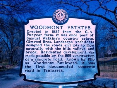
Woodmont Estates
Erected 1999 by The Historical Commission of Metropolitan Nashville and Davidson County. (Marker Number 104.)
Topics and series. This historical marker is listed in this topic list: Roads & Vehicles. In addition, it is included in the Tennessee, The Historical Commission of Metropolitan Nashville and Davidson County series list. A significant historical year for this entry is 1937.
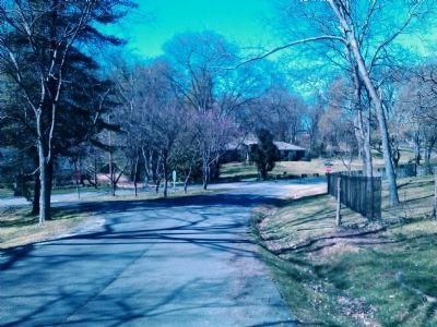
Location. 36° 6.856′ N, 86° 49.435′ W. Marker is in Nashville, Tennessee, in Davidson County. It is in Green Hills. Marker is at the intersection of Valley Brook Road and Bear Road, in the median on Valley Brook Road. Touch for map. Marker is in this post office area: Nashville TN 37215, United States of America. Touch for directions.
Other nearby markers. At least 8 other markers are within walking distance of this marker. Natchez Trace (approx. 0.3 miles away); Battle of Nashville (approx. ¾ mile away); Woodmont School (approx. ¾ mile away); Redoubt No. 4, Battle of Nashville (approx. ¾ mile away); Hillsboro High School (approx. 0.8 miles away); Lieutenant General Alexander Peter Stewart (approx. 0.9 miles away); Redoubt One (approx. 0.9 miles away); a different marker also named Battle of Nashville (approx. one mile away). Touch for a list and map of all markers in Nashville.
Credits. This page was last revised on February 7, 2023. It was originally submitted on March 10, 2012, by Kevin Hoch of Waco, Texas. This page has been viewed 1,098 times since then and 283 times this year. Photos: 1, 2. submitted on March 10, 2012, by Kevin Hoch of Waco, Texas. • Bernard Fisher was the editor who published this page.

