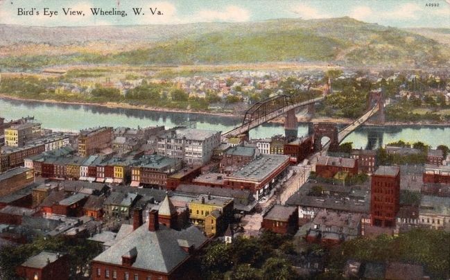
Wheeling in Ohio County, West Virginia — The American South (Appalachia)
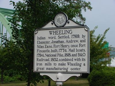
Wheeling
Topics and series. This historical marker is listed in these topic lists: Industry & Commerce • Railroads & Streetcars • Roads & Vehicles • Settlements & Settlers. In addition, it is included in the West Virginia Archives and History series list. A significant historical year for this entry is 1769.
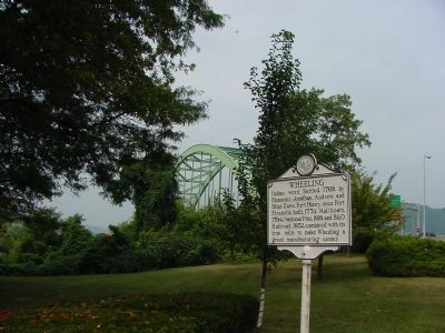
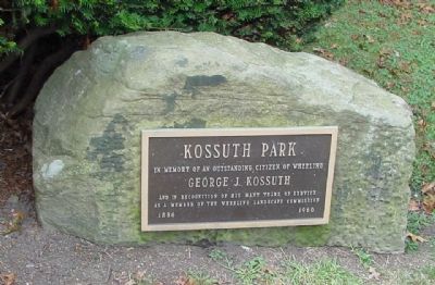
Location. 40° 4.3′ N, 80° 43.489′ W. Marker is in Wheeling, West Virginia, in Ohio County. Marker is at the intersection of Main Street (U.S. Route 40) (West Virginia Route 2) and Interstate 70, on the right when traveling south on Main Street (U.S. Route 40). Marker at the end of the exit ramp for U.S. 40 eastbound. It is at the edge of the tiny Kossuth Park. Touch for map. Marker is in this post office area: Wheeling WV 26003, United States of America. Touch for directions.
Other nearby markers. At least 5 other markers are within walking distance of this marker. Robert W. Hazlett House (within shouting distance of this marker); Marsh Wheeling Stogies (within shouting distance of this marker); The John Gay House (about 400 feet away, measured in a direct line); Old Trails Road (about 400 feet away); List House (about 400 feet away). Touch for a list and map of all markers in Wheeling.
Photographed By Allen C. Browne, December 31, 2013
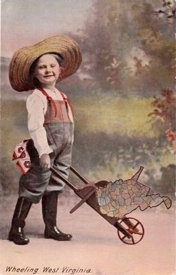
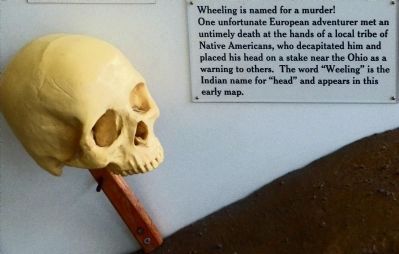
4. Wheeling is named for a Murder!
This display in the Wheeling Visitors Center explains the derivation of the name "Wheeling":
"One unfortunate European adventurer met an untimely death at the hands of a local tribe of Native Americans, who decapitated him and placed his head on a stake near the Ohio as a warning to others. The word 'Wheeling' is the Indian name for 'head'..."
"One unfortunate European adventurer met an untimely death at the hands of a local tribe of Native Americans, who decapitated him and placed his head on a stake near the Ohio as a warning to others. The word 'Wheeling' is the Indian name for 'head'..."
Credits. This page was last revised on April 24, 2022. It was originally submitted on September 17, 2006, by J. J. Prats of Powell, Ohio. This page has been viewed 2,848 times since then and 34 times this year. Photos: 1, 2, 3. submitted on September 17, 2006, by J. J. Prats of Powell, Ohio. 4. submitted on January 5, 2014, by Allen C. Browne of Silver Spring, Maryland. 5, 6. submitted on November 25, 2015.
