Niagara Falls in Niagara Region, Ontario — Central Canada (North America)
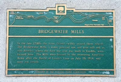
Bridgewater Mills
Erected by The Niagara Parks Commission.
Topics. This historical marker is listed in these topic lists: Industry & Commerce • War of 1812. A significant historical month for this entry is July 1880.
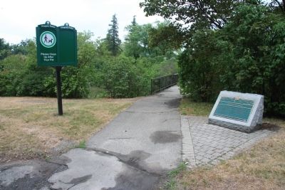
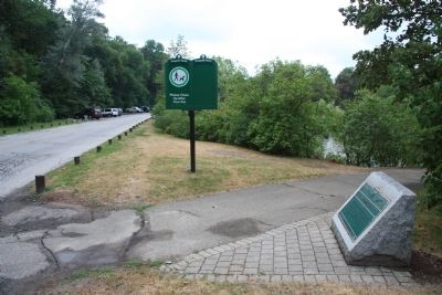
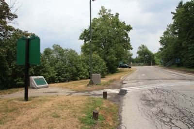
Location. 43° 4.144′ N, 79° 4.003′ W. Marker is in Niagara Falls, Ontario, in Niagara Region. Marker is on Burning Spring Hill Road just south of Niagara Parkway, on the right when traveling south. This historical marker is located along the Canadian side of the Niagara River, just above the Niagara Falls, in a community park that features the Dufferin Islands. The marker is situated along the side of one of the parks walking trails, very near to where the trail crosses Burning Spring Hill Road. Touch for map. Marker is at or near this postal address: 1377 Burning Springs Hill, Niagara Falls ON L0S 1A0, Canada. Touch for directions.
Other nearby markers. At least 8 other markers are within walking distance of this marker. Stranded Scow (approx. half a kilometer away); Burch’s Mill (approx. half a kilometer away); Toronto Power Generating Station (approx. 0.7 kilometers away); Niagara Park Greenhouses (approx. 0.9 kilometers away); Church of the Holy Trinity (approx. 1.1 kilometers away); Goat Island Flora (approx. 1.2 kilometers away in the U.S.); Three Sisters Islands (approx. 1.2 kilometers away in the U.S.); The Niagara Portage (approx. 1.2 kilometers away in the U.S.). Touch for a list and map of all markers in Niagara Falls.
Credits. This page was last revised on September 27, 2019. It was originally submitted on March 11, 2012, by Dale K. Benington of Toledo, Ohio. This page has been viewed 762 times since then and 25 times this year. Photos: 1, 2, 3, 4. submitted on March 11, 2012, by Dale K. Benington of Toledo, Ohio.


