Lynchburg in Harris County, Texas — The American South (West South Central)
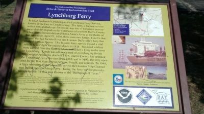
Lynchburg Town Ferry
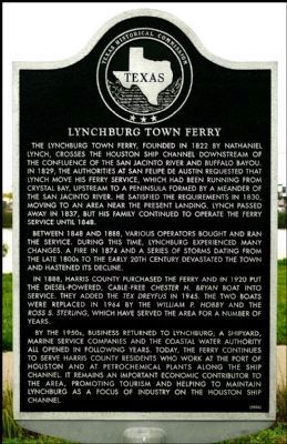
Between 1848 and 1888, various operators bought and ran the service. During this time, Lynchburg experienced many changes. A fire in 1874 and a series of storms dating from the late 1800s to the early 20th century devastated the town and hastened its decline.
In 1888, Harris County purchased the ferry and in 1920 put the diesel-powered, cable-free Chester H. Bryan boat into service. They added the Tex Dreyfus in 1945. The two boats were replaced in 1964 by the William P. Hobby and the Ross S. Sterling, which have served the area for a number of years.
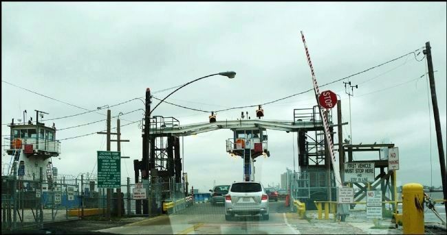
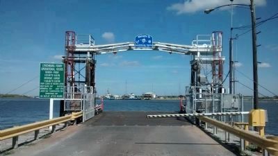
By the 1950s, business returned to Lynchburg; a shipyard, marine service companies and the Coastal Water Authority all opened in following years. Today, the ferry continues to serve Harris County residents who work at the Port of Houston and at petrochemical plants along the ship channel. It remains an important economic contributor to the area, promoting tourism and helping to maintain Lynchburg as a focus of industry on the Houston Ship Channel.
Erected 2006 by Texas Historical Commission. (Marker Number 13677.)
Topics. This historical marker is listed in these topic lists: Industry & Commerce • Waterways & Vessels. A significant historical year for this entry is 1822.
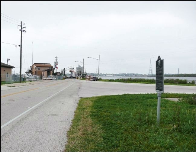
Location. 29° 45.904′ N, 95° 4.635′ W. Marker is in Lynchburg, Texas, in Harris County. Marker is on Independence Parkway, 0.1 miles west of Crokett Street, on the right when traveling west. Touch for map. Marker is in this post office area: Baytown TX 77520, United States of America. Touch for directions.
Other nearby markers. At least 8 other markers are within one mile of this marker, measured as the crow flies. Lynch's Ferry (approx. 0.3 miles away); Lynchburg Cemetery (approx. 0.4 miles away); Lorenzo de Zavala (approx. 0.9 miles away); U.S.S. Texas (approx. one mile away); First Marine Division (approx. one mile away); Sherman's Advance (approx. one mile away); Burleson's Advance (approx. one mile away); San Jacinto Masonic Monument (approx. one mile away).
Also see . . . Lynch's Ferry. The Handbook of Texas
Online, Texas State Historical Association (Submitted on March 15, 2012, by Bernard Fisher of Richmond, Virginia.)
Photographed By Richard Denney, November 2, 2014
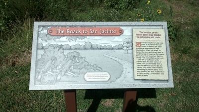
6. Roads to San Jacinto
Informational sign at nearby San Jacinto Battleground State Historic Site detailing the role of Lynch's Ferry in the Battle of San Jacinto.
The Roads to San Jacinto
The location of the fateful battle was decided by geography and roads.
General Santa Anna led a small force of about 650 Mexican troops to destroy the Texan provisional government in New Washington. When this failed, he burned the town and turned back to meet the rest of his army. On the way, he learned from his scouts that the rebels were camped along his route. The 900 or so Texans under General Sam Houston learned of Santa Anna’s vulnerability from a captured Mexican courier the day before. They raced eastward from Harrisburg to prevent Santa Anna from crossing the San Jacinto River at Lynch’s ferry. Confrontation was finally at hand.
Caption: Mexican cavalry scouts spy the Texan camp near the Harrisburg Road, now a part of Independence Parkway.
Credits. This page was last revised on February 1, 2023. It was originally submitted on March 14, 2012, by Jim Evans of Houston, Texas. This page has been viewed 1,166 times since then and 57 times this year. Photos: 1, 2, 3. submitted on March 14, 2012, by Jim Evans of Houston, Texas. 4, 5, 6. submitted on November 3, 2014, by Richard Denney of Austin, Texas. • Bernard Fisher was the editor who published this page.
