Osborne in Osborne County, Kansas — The American Midwest (Upper Plains)
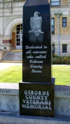
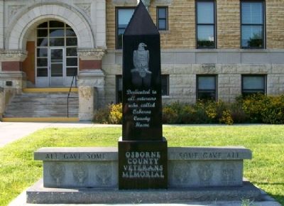
Osborne County Veterans Memorial
All Gave Some • Some Gave All
Topics. This memorial is listed in this topic list: Military.
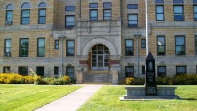
Location. 39° 26.276′ N, 98° 42.093′ W. Marker is in Osborne, Kansas, in Osborne County. Memorial is on Main Street near 4th Street, on the left when traveling west. Marker is on the county courthouse north grounds. Touch for map. Marker is at or near this postal address: 423 West Main Street, Osborne KS 67473, United States of America. Touch for directions.
Other nearby markers. At least 8 other markers are within 10 miles of this marker, measured as the crow flies. Osborne County Courthouse (within shouting distance of this marker); Osborne County Pioneers Memorial (within shouting distance of this marker); Hardman Veterans Memorial Park (approx. ¾ mile away); Osborne / Solomon Valley Highway 24 Heritage Alliance (approx. 1.1 miles away); Geodetic Center of North America (approx. 1.1 miles away); Last Indian Fight in Osborne County (approx. 3 miles away); Melvin "Tubby" Millar Memorial (approx. 8.6 miles away); Civil War Unknown Dead (approx. 9.4 miles away). Touch for a list and map of all markers in Osborne.
Credits. This page was last revised on September 7, 2020. It was originally submitted on March 15, 2012, by William Fischer, Jr. of Scranton, Pennsylvania. This page has been viewed 445 times since then and 13 times this year. Photos: 1, 2, 3. submitted on March 15, 2012, by William Fischer, Jr. of Scranton, Pennsylvania.


