Melrose in Nacogdoches County, Texas — The American South (West South Central)
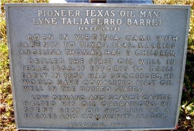
Pioneer Texas Oil Man
Lyne Taliaferro Barret
| — | (1832-1913) | — |
Photographed by Ken Barnes
1. Pioneer Texas Oil Man Marker
Born in Virginia. Came with parents to Texas, 1842. Married Angelina Thomas. Had 9 children.
Drilled the first oil well in Texas, 1866. If efforts to drill early in 1859 had succeeded, he would have completed first oil well in the United States.
Low demand and scarce capital halted his oil operations. He spent rest of his life as a farmer and community leader.
Erected 1966 by State Historical Survey Committee. (Marker Number 9251.)
Topics. This historical marker is listed in these topic lists: Industry & Commerce • Natural Resources. A significant historical year for this entry is 1842.
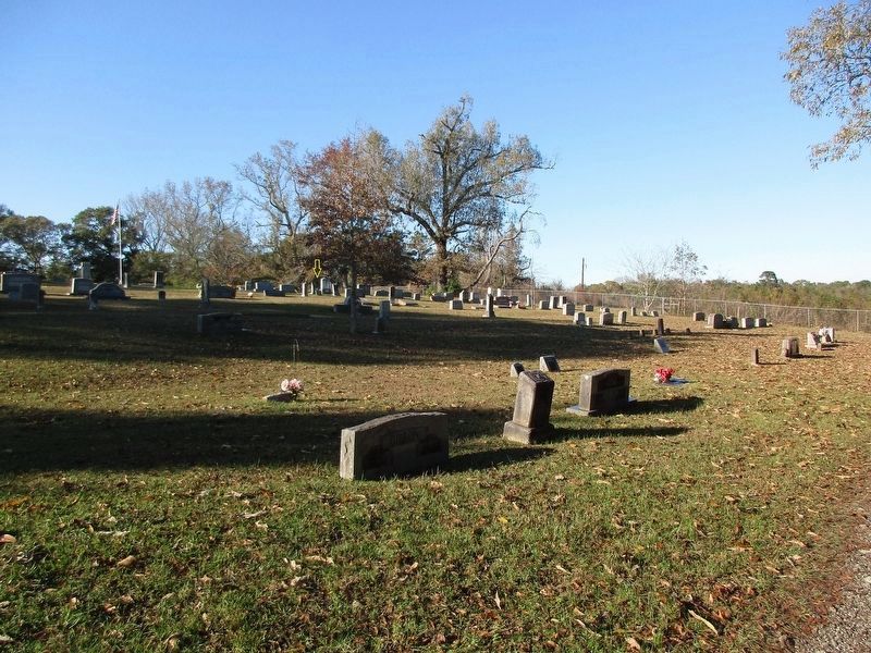
Location. 31° 33.888′ N, 94° 28.95′ W. Marker is in Melrose, Texas, in Nacogdoches County. It is on El Camino Real (State Highway 21). Located approximately 8 miles east of Nacogdoches, Texas on State Highway 21 in the community of Melrose, within the "Lower Melrose Cemetery." The cemetery is about 50 yards north of the highway, behind the Melrose Baptist Church. Touch for map. Marker is in this post office area: Nacogdoches TX 75961, United States of America. Touch for directions.

Regionally, this marker is in the American South,
this page online
Other nearby markers. At least 8 other markers are within 9 miles of this marker, measured as the crow flies: Kings Highway Camino Real — Old San Antonio Road (approx. 0.4 miles away); Site of "El Atascoso" (approx. 1.9 miles away); Cove Springs Cemetery (approx. 3.4 miles away); John Balch (approx. 3.4 miles away); Fairview Church Cemetery (approx. 6.2 miles away); Home of Peter Ellis Bean (approx. 6½ miles away); a different marker also named Kings Highway Camino Real — Old San Antonio Road (approx. 7.3 miles away); a different marker also named Kings Highway Camino Real — Old San Antonio Road (approx. 8.1 miles away). Touch for a list and map of all markers in Melrose.
Photographed by Ken Barnes
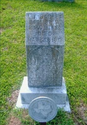
2. Lyne Taliaferro Barret Grave Marker
Photographed by Jeff Leichsenring, December 2, 2025
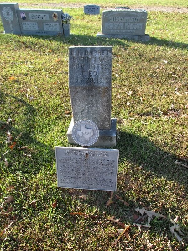
3. Pioneer Texas Oil Man Marker
Photographed by Jeff Leichsenring, December 2, 2025
4. Pioneer Texas Oil Man Marker
Credits. This page was last revised on December 4, 2025. It was originally submitted on April 24, 2010, by Ken Barnes of Nacogdoches, Texas. This page has been viewed 1,309 times since then and 42 times this year. Last updated on March 15, 2012, by Richard Denney of Austin, Texas. Photos: 1, 2. submitted on April 24, 2010, by Ken Barnes of Nacogdoches, Texas. 3, 4. submitted on December 3, 2025, by Jeff Leichsenring of Garland, Texas. • Bill Pfingsten was the editor who published this page.
