Near Gainesville in Prince William County, Virginia — The American South (Mid-Atlantic)
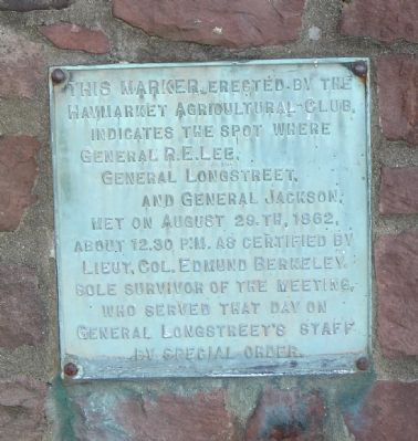
Lee, Longstreet and Jackson Meeting
Erected by Haymarket Agricultural Club.
Topics. This historical marker is listed in this topic list: War, US Civil. A significant historical year for this entry is 1862.
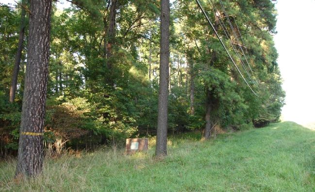
Location. 38° 48.297′ N, 77° 34.745′ W. Marker is near Gainesville, Virginia, in Prince William County. Marker is on Lee Highway (U.S. 29) 0.2 miles west of Lolan Street, on the right when traveling south. Marker is most safely accessed from the hiking trails of the Conway Robinson State Forest. No roadside parking available. Touch for map. Marker is in this post office area: Gainesville VA 20155, United States of America. Touch for directions.
Other nearby markers. At least 10 other markers are within walking distance of this marker. Dunklin Monument (approx. ¼ mile away); The Battle Begins (approx. 0.4 miles away); Stuart's Hill (approx. half a mile away); The Battlefield In 1862 (approx. half a mile away); Stuart's Hill Walking Trail (approx. half a mile away); Meadowville (approx. ¾ mile away); a different marker also named The Battle Begins (approx. 0.9 miles away); Archeology at Brawner Farm (approx. 0.9 miles away); Jackson Opens Fire (approx. one mile away); 19th Indiana Infantry (approx. one mile away). Touch for a list and map of all markers in Gainesville.
More about this marker. The marker spot is about 4/10 of a mile west of Stuart's Hill - the site of Lee's Headquarters during the battle of Second Manassas.
Additional commentary.
1. A History of the Marker
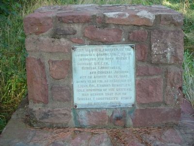
This marker was placed prior to 1917 approximately two miles east of Gainesville commemorating the site of General Lee’s meeting with his generals. The marker was originally on the south side of Lee Highway before the road was widened to four lanes. The widening of the highway left the marker isolated in the median strip. Following its dissociation from its original location as a result of an auto accident, the beveled or slant marker was relocated to its present position on the north side of Lee Highway in the Conway Robinson State Forest in 1985. It is now constructed of red sandstone with a fifteen-inch high base. The face of the marker holds a bronze plaque describing the meeting held by the commanders on August 29, 1862. Manassas Battlefield Historic District NRHP Registration Form
— Submitted December 17, 2008.
Credits. This page was last revised on February 16, 2018. It was originally submitted on September 17, 2006. This page has been viewed 2,410 times since then and 41 times this year. Photos: 1, 2, 3. submitted on September 17, 2006. • J. J. Prats was the editor who published this page.


