Chantilly in Fairfax County, Virginia — The American South (Mid-Atlantic)
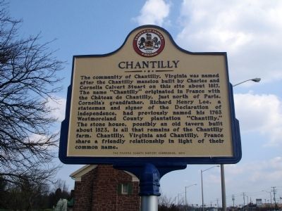
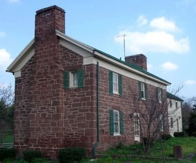
Chantilly
Erected 2010 by The Fairfax County History Commission.
Topics and series. This historical marker is listed in this topic list: Settlements & Settlers. In addition, it is included in the Virginia, Fairfax County History Commission series list. A significant historical year for this entry is 1817.
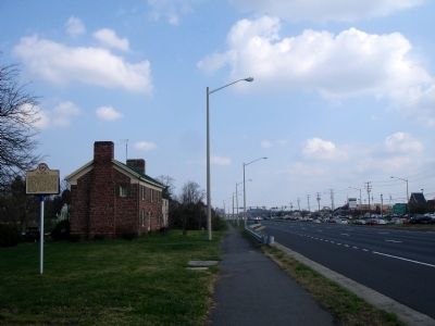
Location. 38° 52.937′ N, 77° 23.994′ W. Marker is in Chantilly, Virginia, in Fairfax County. Marker is at the intersection of U.S. 50 and Plaza Lane, on the right when traveling west on U.S. 50. Touch for map. Marker is at or near this postal address: 13110 Lee Jackson Hwy, Fairfax VA 22033, United States of America. Touch for directions.
Other nearby markers. At least 8 other markers are within 2 miles of this marker, measured as the crow flies. McAtee's Tavern (approx. 1.2 miles away); Battle of Chantilly (approx. 1.3 miles away); Salisbury Plain (approx. 1.3 miles away); Pender (approx. 1.6 miles away); The Cross Farmhouse (approx. 1.7 miles away); Cross Farm (approx. 1.7 miles away); Leeton (approx. 1.7 miles away); Maryland (Antietam / Sharpsburg) Campaign (approx. 2 miles away). Touch for a list and map of all markers in Chantilly.
Also see . . . Chantilly, ca. 1817. Northern Virginia History Notes, by Debbie Robison (Submitted on March 17, 2012.)
Credits. This page was last revised on June 17, 2023. It was originally submitted on March 17, 2012. This page has been viewed 1,852 times since then and 82 times this year. Photos: 1, 2, 3. submitted on March 17, 2012. • Bernard Fisher was the editor who published this page.


