Setauket in Suffolk County, New York — The American Northeast (Mid-Atlantic)
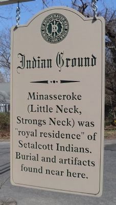
Indian Ground
(Little Neck,
Strongs Neck) was
“royal residence” of
Setalcott Indians.
Burial and artifacts
found near here.
Erected by Town of Brookhaven.
Topics. This historical marker is listed in this topic list: Native Americans.
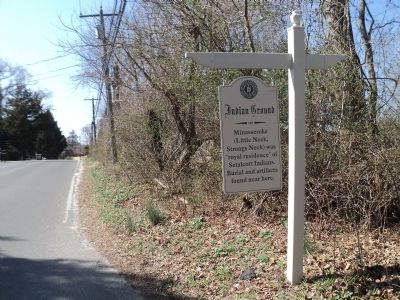
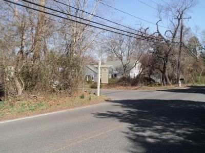
Location. 40° 57.402′ N, 73° 6.701′ W. Marker is in Setauket, New York, in Suffolk County. Marker is at the intersection of Strongs Neck Road/Dyke Road and Gun Path, on the left when traveling east on Strongs Neck Road/Dyke Road. Touch for map. Marker is in this post office area: East Setauket NY 11733, United States of America. Touch for directions.
Other nearby markers. At least 8 other markers are within walking distance of this marker. Bicentennial of US Constitution (approx. 0.2 miles away); St. George’s Manor Cemetery (approx. 0.2 miles away); Selah B. Strong - Kate Strong House (approx. 0.4 miles away); Abraham Woodhull Home (approx. 0.4 miles away); Site of Strongs Neck Bridge (approx. half a mile away); Caroline Church of Brookhaven, 1729 (approx. 0.7 miles away); Mary (Longbothom) Muirson (approx. 0.7 miles away); Abraham Woodhull (approx. ¾ mile away). Touch for a list and map of all markers in Setauket.
Credits. This page was last revised on June 16, 2016. It was originally submitted on March 18, 2012, by Bill Coughlin of Woodland Park, New Jersey. This page has been viewed 897 times since then and 52 times this year. Photos: 1, 2, 3. submitted on March 18, 2012, by Bill Coughlin of Woodland Park, New Jersey.


