Lamar in Aransas County, Texas — The American South (West South Central)
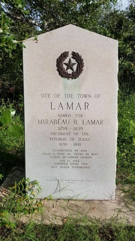
Site of the Town of Lamar
Lamar
Named for
Mirabeau B. Lamar
1798 – 1859
President of the
Republic of Texas
1838 – 1841
Established in 1838
Made a Port of Entry in 1839
Sacked by Union Troops
Feb. 11, 1864
Survived until 1914
but never flourished.
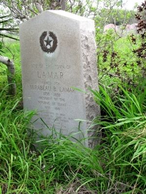
Erected 1936 by State of Texas. (Marker Number 3018.)
Topics and series. This historical marker is listed in this topic list: Settlements & Settlers. In addition, it is included in the Texas 1936 Centennial Markers and Monuments series list. A significant historical month for this entry is February 1942.
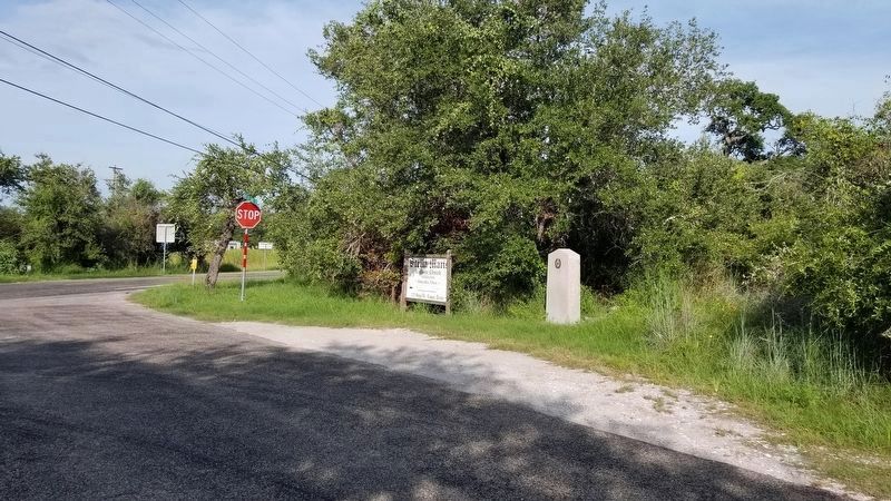
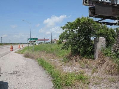
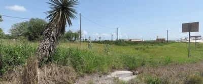
Location. 28° 8.309′ N, 96° 59.659′ W. Marker is in Lamar, Texas, in Aransas County. Marker is at the intersection of Bois D’Arc Street and Main Street, on the right when traveling north on Bois D’Arc Street. The marker has been relocated from TX35 to Bois D’Arc Street near the entrance to Goose Island. Touch for map. Marker is in this post office area: Rockport TX 78382, United States of America. Touch for directions.
Other nearby markers. At least 8 other markers are within 5 miles of this marker, measured as the crow flies. John Fagan (approx. 0.4 miles away); The Lamar Cemetery (approx. half a mile away); Stella Maris Chapel (approx. half a mile away); Mills Wharf (approx. 0.8 miles away); Lamar Volunteer Fire Department (approx. 0.8 miles away); Site of One of the Homes of James Power (approx. 3 miles away); Rockport Air Force Station (approx. 4.3 miles away); Aransas County Airport (approx. 4˝ miles away). Touch for a list and map of all markers in Lamar.
Credits. This page was last revised on September 5, 2021. It was originally submitted on March 19, 2012. This page has been viewed 1,296 times since then and 81 times this year. Photos: 1. submitted on September 5, 2021, by James Hulse of Medina, Texas. 2. submitted on March 19, 2012. 3. submitted on September 5, 2021, by James Hulse of Medina, Texas. 4. submitted on March 19, 2012. 5, 6. submitted on July 6, 2014, by Richard Denney of Austin, Texas. • Bernard Fisher was the editor who published this page.
