Near Bolivar in Jefferson County, West Virginia — The American South (Appalachia)
We Began Firing At Will: The 111th New York Regiment
Harpers Ferry National Historical Park
— National Park Service, U.S. Department of the Interior —

Photographed By Devry Becker Jones (CC0), May 21, 2021
1. We Began Firing At Will: The 111th New York Regiment Marker
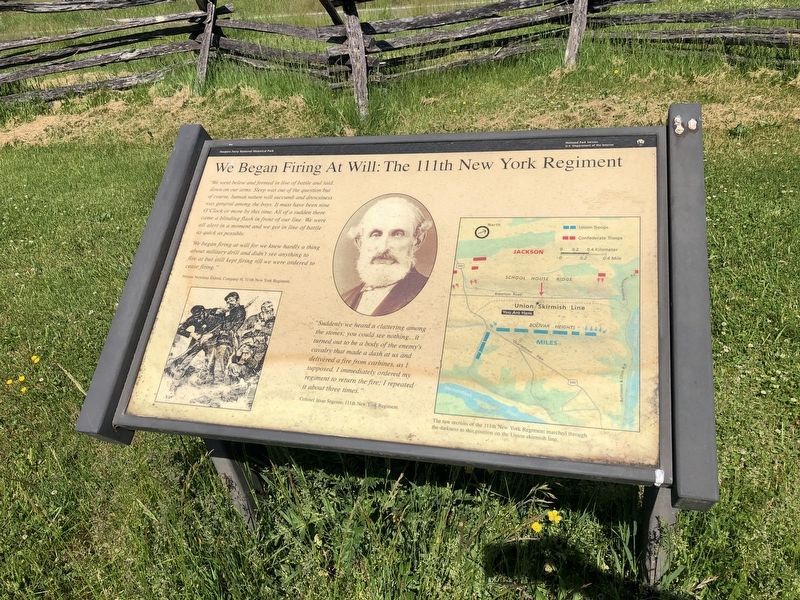
"We went below and formed in line of battle and laid down on our arms. Sleep was out of the question but of course, human nature will succumb and drowsiness was general among the boys. It must have been nine O'Clock or more by this time. All of a sudden there came a blinding flash in front of our line. We were all alert in a moment and we got in line of battle as quickly as possible.
We began firing at will for all we knew hardly a thing about military drill and didn't see anything to fire at but still kept firing till we were ordered to cease firing"
Private Newman Eldred, Company H, 111th New York Regiment
"Suddenly we heard a clattering among the stones; you could see nothing…it turned out to be a body of the enemy's cavalry that made a dash at us and delivered a fire from carbines, as I supposed. I immediately ordered my regiment to return the fire; I repeated it about three times."
Colonel Jesse Segoine, 111th New York Regiment.
The raw recruits of the 111th New York Regiment marched through the darkness to this position on the Union skirmish line.
Erected by National Park Service, U.S. Department of the Interior.
Topics. This historical marker is listed in this topic list: War, US Civil .
Location. 39° 19.487′ N, 77° 45.996′ W. Marker is near Bolivar, West Virginia, in Jefferson County. Marker is on Bakerton Road (County Route 27), on the right when traveling north. Located along the Union Skirmish Line Trail, in the Harpers Ferry National Historical Park. Touch for map. Marker is in this post office area: Harpers Ferry WV 25425, United States of America. Touch for directions.
Other nearby markers. At least 8 other markers are within walking distance of this marker. Union Skirmish Line (within shouting distance of this marker); Battle of Harpers Ferry / Jackson Arrives (within shouting distance of this marker); School House Ridge, Harpers Ferry, W.V. (about 400 feet away, measured in a direct line); A Position Strong by Nature (about 700 feet away); From Skirmish Line to Burial Ground (about 700 feet away); Five Rounds into the Darkness (about 700 feet away); A Dangerous Position (about 800 feet away); The Confederate Perspective (approx. 0.2 miles away). Touch for a list and map of all markers in Bolivar.
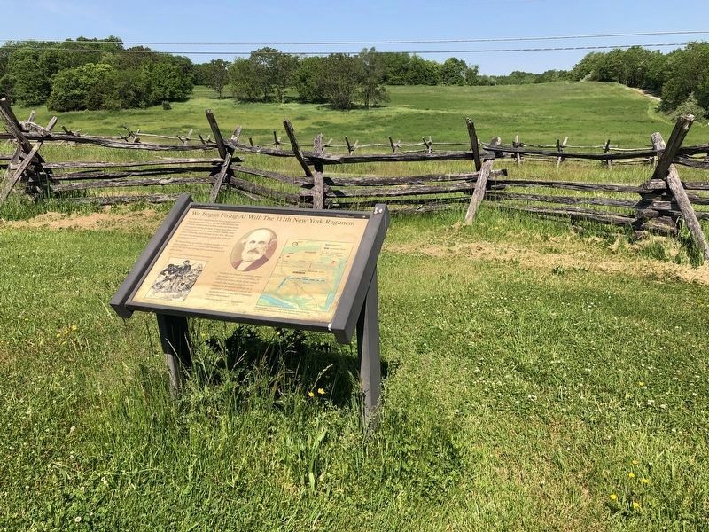
More about this marker. On the left is a drawing depicting skirmish action during the Civil War. In the center is a portrait of Colonel Segoine. On the right is a map illustrating the positions of the main Federal and Confederate lines, with the location of the Union skirmish line detailed.
Also see . . .

Photographed By Devry Becker Jones (CC0), May 21, 2021
2. We Began Firing At Will: The 111th New York Regiment Marker
Credits. This page was last revised on May 21, 2021. It was originally submitted on February 14, 2008, by Craig Swain of Leesburg, Virginia. This page has been viewed 1,461 times since then and 20 times this year. Photos: 1, 2. submitted on May 21, 2021, by Devry Becker Jones of Washington, District of Columbia. 3. submitted on February 14, 2008, by Craig Swain of Leesburg, Virginia.
