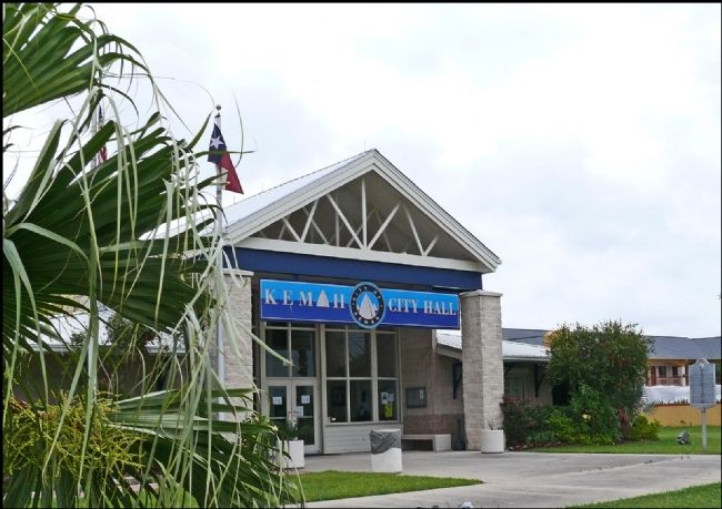
Kemah in Galveston County, Texas — The American South (West South Central)
Kemah
In 1898 the Texas & New Orleans Railroad extended a track through the area which prompted the Kipp and Bradford families to establish a townsite here named Evergreen. Despite its destruction by a storm in 1900, the village was rebuilt after the Kipps and Bradfords erected large family homes here in 1901.
The name of the town was changed to Kemah with the granting of a post office in 1907. Gulf-related businesses such as boat building, commercial fishing, and tourism helped Kemah grow into a town of 1,300 people by 1922. Kemah was connected with Seabrook by bridge in 1929. A large shrimp fleet located here after the Clear Creek Channel opened in the 1950s.
Kemah sustained major storm damage in 1961 but recovered and was formally incorporated in 1965. Marine storage facilities built in this area in the 1970s and 1980s continued to boost the local economy.
Erected 1994 by Texas Historical Commission. (Marker Number 7504.)
Topics. This historical marker is listed in this topic list: Settlements & Settlers. A significant historical year for this entry is 1824.
Location. 29° 32.057′ N, 95° 0.933′ W. Marker is in Kemah, Texas, in Galveston County. Marker is at the intersection of State Highway 146 and Bel Road, on the right when traveling north on State Highway 146. Touch for map. Marker is at or near this postal address: 1401 State Hwy 146, Kemah TX 77565, United States of America. Touch for directions.
Other nearby markers. At least 8 other markers are within 5 miles of this marker, measured as the crow flies. Ritson Morris and Elmwood Plantation (approx. 2˝ miles away); Site of Clifton-By-The-Sea (approx. 2.8 miles away); Harris County Boys' School Archeological Site (approx. 4 miles away); Webster Presbyterian Church (approx. 4 miles away); San Leon (approx. 4 miles away); Prehistoric Indian Campsite (approx. 4.2 miles away); Apollo Mission Control Center (approx. 4.7 miles away); T.J. and Mary Lelia Dick House (approx. 4.7 miles away).
Also see . . . Kemah, TX. The Handbook of Texas Online, Texas State Historical Association (Submitted on March 30, 2012, by Bernard Fisher of Richmond, Virginia.)
Credits. This page was last revised on June 16, 2016. It was originally submitted on March 29, 2012, by Jim Evans of Houston, Texas. This page has been viewed 795 times since then and 39 times this year. Photos: 1, 2. submitted on March 29, 2012, by Jim Evans of Houston, Texas. • Bernard Fisher was the editor who published this page.

