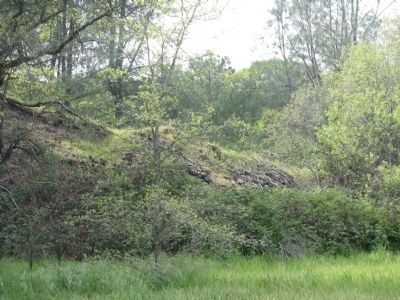
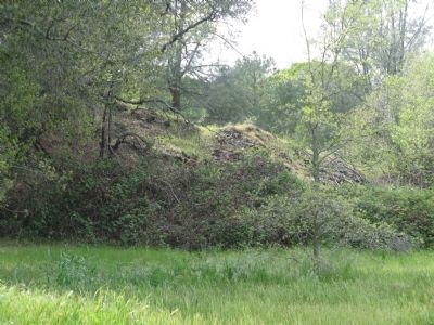
Browns Valley in Yuba County, California — The American West (Pacific Coastal)
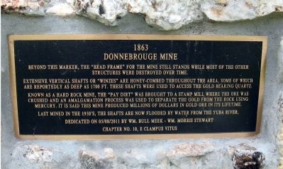
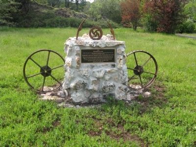
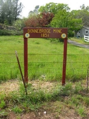
Donnebrouge Mine
1863
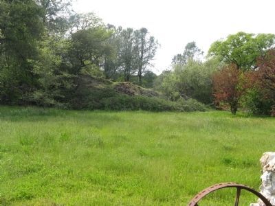
Extensive vertical shafts or "winzes" are honey-combed throughout the area, some of which are reportedly as deep as 1700 ft. These shafts were used to access the gold bearing quartz.
Known as a hard rock mine, the "pay dirt" was brought to a stamp mill, where the ore was crushed and an amalgamation process was used to separate the gold from the rock using mercury. It is said this mine produced millions of dollars in gold ore in its lifetime.
Last mined in the 1950's the shafts are now flooded by water from the Yuba River.
Erected 2011 by Wm. Bull Meek – Wm. Morris Stewart, Chapter No. 10, E Clampus Vitus.
Topics and series. This historical marker is listed in these topic lists: Industry & Commerce • Natural Resources. In addition, it is included in the E Clampus Vitus series list. A significant historical year for this entry is 1700.
Location. 39° 14.524′ N, 121° 24.554′ W. Marker is in Browns Valley, California, in Yuba County. Marker is on Marysville Road, one mile north of Browns Valley Road (California Highway 20), on the left when traveling north. The marker is accessible from the road, however the mine ruins are located on private property and not accessible to the public. Touch for map. Marker is at or near this postal address: 5589 Marysville Road, Browns Valley CA 95918, United States of America. Touch for directions.
Other nearby markers. At least 8 other markers are within 7 miles of this marker, measured as the crow flies. Browns Valley: 1850 – 1860 (about 700 feet away, measured in a direct line); Brown's Valley: Beginnings (about 700 feet away); Hammon Grove (approx. one mile away); The Yuba River Bridge at Parks Bar (approx. 4.4 miles away); Loma Rica Grange Hall #802 (approx. 4.9 miles away); Sucker Flat (approx. 6.2 miles away); Church of the Immaculate Conception (approx. 6.4 miles away); Smartville / Smartsville (approx. 6.4 miles away). Touch for a list and map of all markers in Browns Valley.
Credits. This page was last revised on October 25, 2020. It was originally submitted on April 8, 2012, by Syd Whittle of Mesa, Arizona. This page has been viewed 934 times since then and 27 times this year. Photos: 1, 2, 3, 4, 5, 6. submitted on April 8, 2012, by Syd Whittle of Mesa, Arizona.
