Marysville in Yuba County, California — The American West (Pacific Coastal)
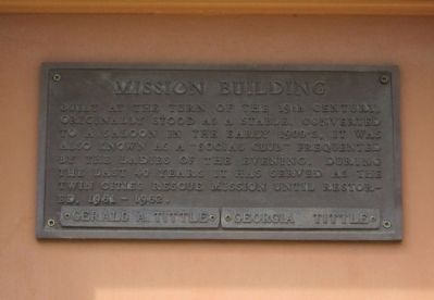
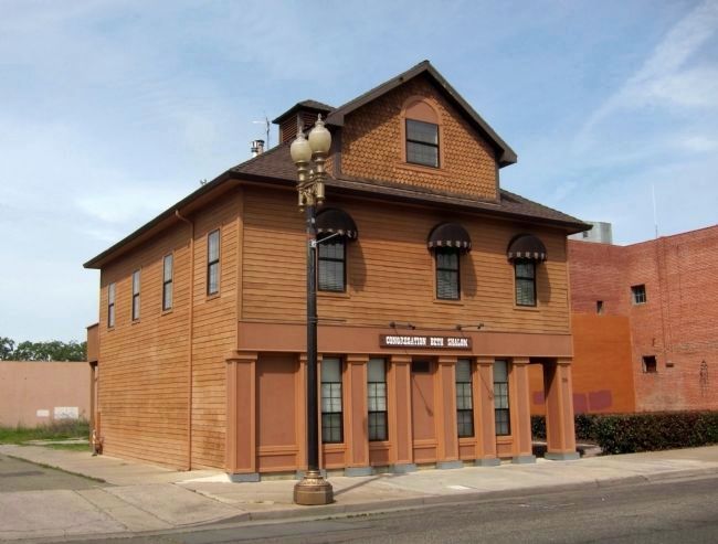
Mission Building
Topics. This historical marker is listed in these topic lists: Entertainment • Industry & Commerce.
Location. 39° 8.164′ N, 121° 35.248′ W. Marker is in Marysville, California, in Yuba County. Marker is at the intersection of First Street and Oak Street, on the left when traveling east on First Street. Touch for map. Marker is at or near this postal address: 315 First Street, Marysville CA 95901, United States of America. Touch for directions.
Other nearby markers. At least 8 other markers are within walking distance of this marker. Davis Hotel (within shouting distance of this marker); Lord Sholto Douglas (within shouting distance of this marker); New Mecklenberg (within shouting distance of this marker); Bok Kai Temple (about 300 feet away, measured in a direct line); Historical Monument of Macy’s (about 300 feet away); Chinese Rock Wall (about 300 feet away); Beckwourth Trail – Marysville (approx. 0.2 miles away); José Manuel Ramírez Rosales (approx. 0.3 miles away). Touch for a list and map of all markers in Marysville.
Credits. This page was last revised on June 16, 2016. It was originally submitted on April 8, 2012, by Andrew Ruppenstein of Lamorinda, California. This page has been viewed 599 times since then and 17 times this year. Photos: 1, 2. submitted on April 8, 2012, by Andrew Ruppenstein of Lamorinda, California. • Syd Whittle was the editor who published this page.

