Rumson in Monmouth County, New Jersey — The American Northeast (Mid-Atlantic)
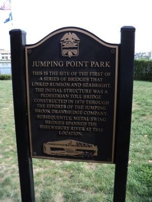
Jumping Point Park
Photographed by Bill Coughlin, April 14, 2012
1. Jumping Point Park Marker
a series of bridges that
linked Rumson and Seabright.
The initial structure was a
pedestrian toll bridge
constructed in 1870 through
the efforts of the Jumping
Brook Drawbridge Company.
Subsequently, metal swing
bridges spanned the
Shrewsbury River at this
location.
Topics. This historical marker is listed in this topic list: Bridges & Viaducts. A significant historical year for this entry is 1870.
Location. 40° 21.902′ N, 73° 58.606′ W. Marker is in Rumson, New Jersey, in Monmouth County. It is at the intersection of Rumson Road and Packer Avenue, on the left when traveling east on Rumson Road. Marker is on the west shore of the Shrewsbury River, just south of the bridge. Touch for map. Marker is in this post office area: Rumson NJ 07760, United States of America. Touch for directions.

Regionally, this marker is in New Jersey’s Central Jersey, specifically on the Jersey Shore, and in the New York City Metropolitan Area. It is also in the American Northeast, in the Mid-Atlantic, and on the Eastern Seaboard. Globally, it is in the North Atlantic Region, North America, the Western Hemisphere,
this page online
Other nearby markers. At least 8 other markers are within 3 miles of this marker, measured as the crow flies: Huddy’s Leap (within shouting distance of this marker); Battle of Black Point (approx. 1.3 miles away); 1945 - 2005 Rumson Veterans Monument (approx. 2 miles away); Twin Lights Mystery Cannon (approx. 2.2 miles away); Electric Power Station (approx. 2.2 miles away); Highlands Doughboy World War I Monument (approx. 2.2 miles away); a different marker also named Powerhouse (approx. 2.2 miles away); The Navesink Light Station (approx. 2.2 miles away). Touch for a list and map of all markers in Rumson.
Other markers no longer nearby. Powerhouse (was approx. 2.2 miles away but has been replaced with another marker now near it); The Navesink Highlands Light Station (was approx. 2.2 miles away but has been replaced with another marker now near it); Spermaceti Cove Lifeboat Station (was approx. 2.2 miles away but has been replaced with another marker now near it); Marconi at Twin Lights
Photographed by Bill Coughlin, April 14, 2012
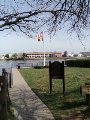
2. Marker in Rumson
Photographed by Bill Coughlin, April 14, 2012
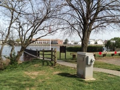
3. Jumping Point Park Marker
Photographed by Bill Coughlin, April 14, 2012
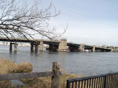
4. Shrewsbury River Bridge
This is the bridge that currently spans the Shrewsbury River near the marker.
Credits. This page was last revised on June 16, 2016. It was originally submitted on April 14, 2012, by Bill Coughlin of Woodland Park, New Jersey. This page has been viewed 1,000 times since then and 67 times this year. Photos: 1, 2, 3, 4. submitted on April 14, 2012, by Bill Coughlin of Woodland Park, New Jersey.
