Calistoga in Napa County, California — The American West (Pacific Coastal)
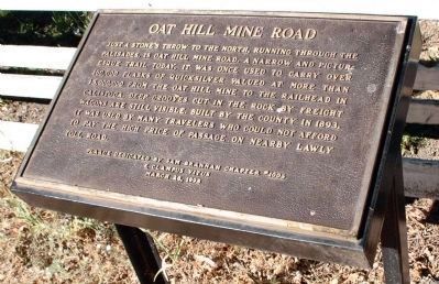
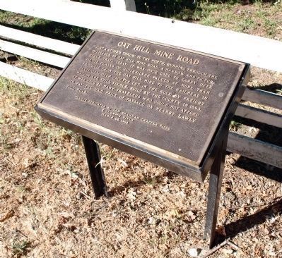
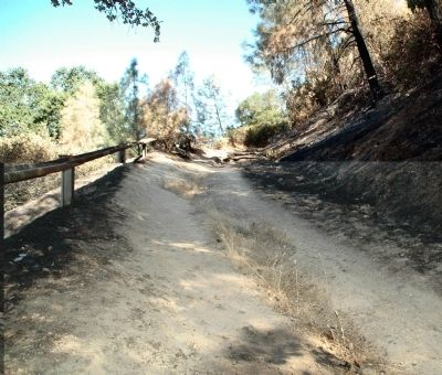
Oat Hill Mine Road
Erected 1998 by Sam Brannan Chapter #1004, E Clampus Vitus.
Topics and series. This historical marker is listed in this topic list: Roads & Vehicles. In addition, it is included in the E Clampus Vitus series list. A significant historical year for this entry is 1893.
Location. 38° 35.341′ N, 122° 34.645′ W. Marker is in Calistoga, California, in Napa County. Marker is at the intersection of County Highway 29 and Silverado Trail, on the left when traveling north on County Highway 29. Touch for map. Marker is in this post office area: Calistoga CA 94515, United States of America. Touch for directions.
Other nearby markers. At least 8 other markers are within one mile of this marker, measured as the crow flies. Sam Brannan Store (approx. 0.4 miles away); Calistoga Depot (approx. 0.6 miles away); Mount View Hotel (approx. 0.7 miles away); Calistoga City Hall (approx. 0.7 miles away); Sam Brannan Cottage (approx. 0.7 miles away); Calistoga Sam Brannan Center (approx. 0.7 miles away); Site of John York’s Cabin (approx. one mile away); Pioneer Cemetery (approx. 1.1 miles away). Touch for a list and map of all markers in Calistoga.
Credits. This page was last revised on June 16, 2016. It was originally submitted on April 22, 2012, by Loren Wilson of Sebastopol, California. This page has been viewed 728 times since then and 34 times this year. Photos: 1. submitted on April 28, 2012, by Loren Wilson of Sebastopol, California. 2, 3. submitted on April 22, 2012, by Loren Wilson of Sebastopol, California. • Syd Whittle was the editor who published this page.


