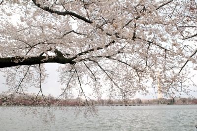
The Tidal Basin in Southwest Washington in Washington, District of Columbia — The American Northeast (Mid-Atlantic)
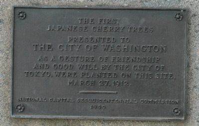
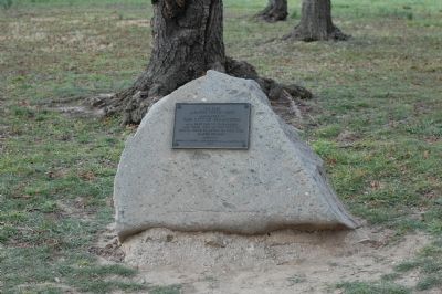
The First Japanese Cherry Trees
Erected 1950 by National Capital Sesquicentennial Commission.
Topics and series. This historical marker is listed in this topic list: Horticulture & Forestry. In addition, it is included in the Historic Trees series list. A significant historical month for this entry is March 1910.
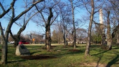
Location. 38° 53.189′ N, 77° 2.509′ W. Marker is in Southwest Washington in Washington, District of Columbia. It is in The Tidal Basin. Marker is on Independence Avenue Southwest east of West Basin Drive Southwest, on the right when traveling east. Touch for map. Marker is in this post office area: Washington DC 20024, United States of America. Touch for directions.
Other nearby markers. At least 8 other markers are within walking distance of this marker. A Symbol of International Friendship (within shouting distance of this marker); Lighting the Way (within shouting distance of this marker); District of Columbia War Memorial (about 600 feet away, measured in a direct line); a different marker also named District of Columbia War Memorial (about 600 feet away); John Paul Jones Memorial (approx. 0.2 miles away); a different marker also named John Paul Jones Memorial (approx. 0.2 miles away); Washington Monument (approx. 0.2 miles away); Nothing to Fear… (approx. 0.2 miles away). Touch for a list and map of all markers in Southwest Washington.
Credits. This page was last revised on January 30, 2023. It was originally submitted on March 30, 2006, by Tom Fuchs of Greenbelt, Maryland. This page has been viewed 3,406 times since then and 60 times this year. Last updated on April 27, 2012, by Richard E. Miller of Oxon Hill, Maryland. Photos: 1, 2. submitted on March 30, 2006, by Tom Fuchs of Greenbelt, Maryland. 3. submitted on March 19, 2011, by William Fischer, Jr. of Scranton, Pennsylvania. 4. submitted on March 30, 2006, by Tom Fuchs of Greenbelt, Maryland. • Bill Pfingsten was the editor who published this page.


