McClellanville in Charleston County, South Carolina — The American South (South Atlantic)
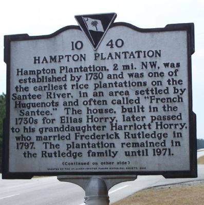
Hampton Plantation
Hampton Plantation, 2 mi. N.W., was established by 1730 and was one of the earliest rice plantations on the Santee River, in an area settled by Huguenots and often called "French Santee." The house, built in the 1730's for Elias Horry, later passed to his granddaughter Harriott Horry, who married Frederick Rutledge in 1797. The plantation remained in the Rutledge family until 1971.
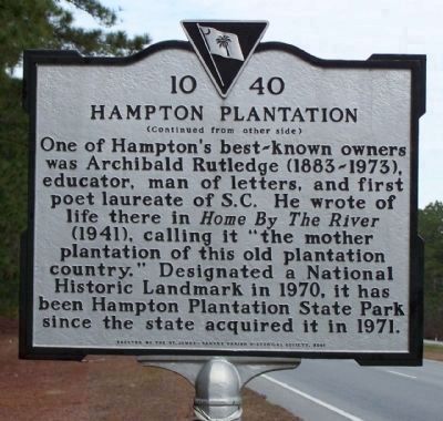
(Marker Reverse]:
One of Hampton's best-known owners was Archibald Rutledge (1883-1973), educator, man of letters, and first poet laureate of S.C. He wrote of life there in Home by the River (1941), calling it "the mother plantation of this old plantation country." Designated a National Historic Landmark in 1970, it has been Hampton Plantation State Park since the state acquired it in 1971
Erected 2001 by St. James- Santee Parish Historical Society. (Marker Number 10-40.)
Topics and series. This historical marker is listed in these topic lists: Arts, Letters, Music • Colonial Era. In addition, it is included in the National Historic Landmarks, and the South Carolina, Charleston County, St. James- Santee Parish Historical Society series lists. A significant historical year for this entry is 1730.
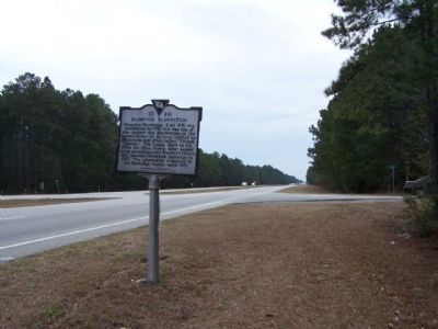
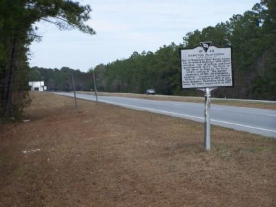
Location. Marker has been reported missing. It was located near 33° 10.444′ N, 79° 25.04′ W. Marker was in McClellanville, South Carolina, in Charleston County. Marker was at the intersection of U.S. 17 and Rutledge Road (South Carolina Highway 10-857), on the right when traveling south on U.S. 17. In today's Francis Marion National Forest. Touch for map. Marker was in this post office area: Mc Clellanville SC 29458, United States of America. Touch for directions.
Other nearby markers. At least 8 other markers are within 7 miles of this location, measured as the crow flies. Thomas Pinckney / St. James, Santee (approx. 0.3 miles away); St. James Santee Parish Church (approx. 2.8 miles away); Hopsewee (approx. 3.3 miles away); The Oaks Plantation (approx. 3.7 miles away); St. James Santee Parish Veterans Memorial (approx. 6.6 miles away); Richard Tillia Morrison (approx. 6.6 miles away); Deerhead Oak (approx. 6.6 miles away); McClellanville (approx. 6.6 miles away). Touch for a list and map of all markers in McClellanville.
More about this marker. victim of an auto accident
Regarding Hampton Plantation. Hampton Plantation was also a place of history - George Washington once had breakfast there, and Francis Marion, "The Swamp Fox," had used the house as a hideout.
National Register of Historic Places:
Hampton Plantation *** (added 1970 - - #70000582)
Also known as Hampton Plantation House
♦ Historic Significance: Architecture/Engineering
♦ Architect, builder, or engineer: Unknown
♦ Architectural Style: Georgian
♦ Area of Significance: Architecture
♦ Period of Significance: 1750-1799, 1700-1749
♦ Owner: State
♦ Historic Function: Domestic
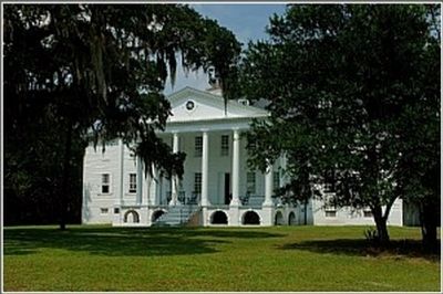
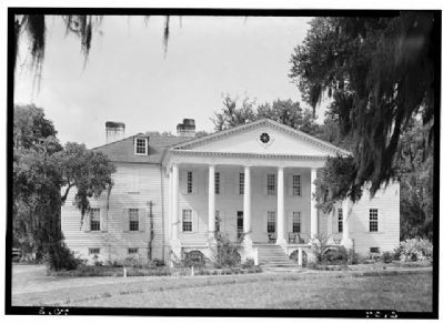
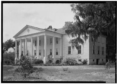
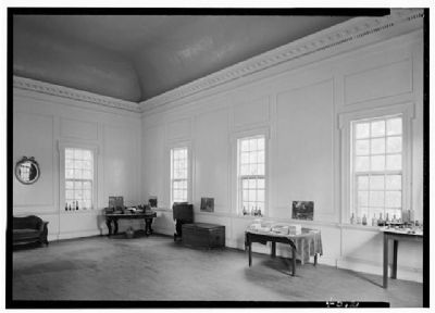
(Hampton Plantation State Park) Hampton, erected in 1735, greatly enlarged after 1757, and with final additions made in 1790-91, is an excellent example of a modest sized frame structure that evolved through organic growth into a large, unified Georgian frame country house. The structure includes one of the earliest examples of the use of the giant portico in American domestic architecture, and Hampton is South Carolina’s finest example of a large two-and-one-half story frame Georgian plantation house. The original house was a four-room center hall structure, with two more rooms on the second floor, built by Noe Serre, a Huguenot settler. The one-and-one-half story frame building on raised brick foundations was 40 feet long and 34 feet deep, and had two interior chimneys. In 1757, the plantation came into the possession of Daniel Horry through marriage, and shortly thereafter he more than doubled the size of the original house. A second full story was added and extensions made to both ends, bringing the structure to its present size. The
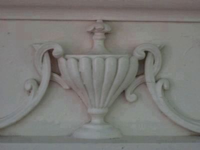
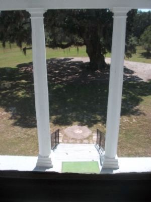
present hipped roof, with two dormers in front and rear, was built over the entire house, and each new wing had an interior chimney. In 1790-91, the south façade assumed its present unified appearance, when a six column wide giant portico and pediment were added across the center portion of the original house. Rosettes, panels, and flutings adorn the frieze of the portico, and the pediment contains a circular window with four keystones. Listed in the National Register April 15, 1970; Designated a National Historic Landmark April 15, 1970.(South Carolina Department of Archives and History)
Credits. This page was last revised on December 12, 2019. It was originally submitted on February 19, 2009, by Mike Stroud of Bluffton, South Carolina. This page has been viewed 2,081 times since then and 42 times this year. Last updated on April 30, 2012, by Anna Inbody of Columbia, South Carolina. Photos: 1, 2, 3, 4, 5. submitted on February 19, 2009, by Mike Stroud of Bluffton, South Carolina. 6, 7. submitted on May 8, 2012, by Mike Stroud of Bluffton, South Carolina. 8. submitted on February 23, 2012, by Kyle Kirby Green of Surfside Beach, South Carolina. 9. submitted on May 8, 2012, by Mike Stroud of Bluffton, South Carolina. 10. submitted on February 23, 2012, by Kyle Kirby Green of Surfside Beach, South Carolina. 11. submitted on April 30, 2012, by Anna Inbody of Columbia, South Carolina.
