Shullsburg in Lafayette County, Wisconsin — The American Midwest (Great Lakes)
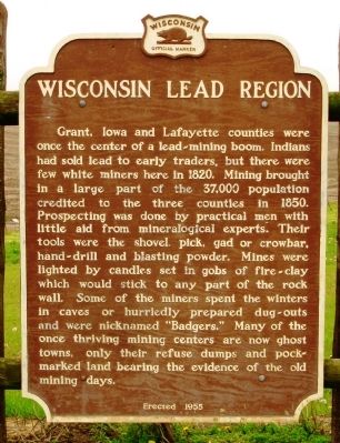
Wisconsin Lead Region
Grant, Iowa and Lafayette counties were once the center of a lead-mining boom. Indians had sold lead to early traders, but there were few white miners here in 1820. Mining brought in a large part of the 37,000 population credited to the three counties in 1850. Prospecting was done by practical men with little aid from mineralogical experts. Their tools were the shovel, pick, gad or crowbar, hand-drill and blasting powder. Mines were lighted by candles set in gobs of fire-clay which would stick to any part of the rock wall. Some of the miners spent the winters in caves or hurriedly prepared dug-outs and were nicknamed “Badgers.” Many of the once thriving mining centers are now ghost towns, only their refuse dumps and pock-marked land bearing the evidence of the old mining days.
Erected 1955 by Wisconsin State Historical Society. (Marker Number 24.)
Topics and series. This historical marker is listed in this topic list: Industry & Commerce. In addition, it is included in the Wisconsin Historical Society series list. A significant historical year for this entry is 1820.
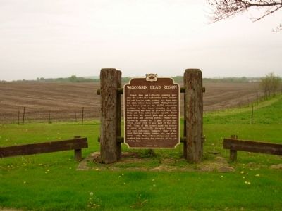
Location. 42° 34.229′ N, 90° 15.772′ W. Marker is in Shullsburg, Wisconsin, in Lafayette County. Marker is on State Highway 11, ¼ mile west of Big Cut Road, on the right when traveling east. Marker is located in a vehicle turn out on the south side of Hwy 11. Touch for map. Marker is in this post office area: Shullsburg WI 53586, United States of America. Touch for directions.
Other nearby markers. At least 8 other markers are within 6 miles of this marker, measured as the crow flies. Historical Badger Park (approx. 1.3 miles away); Badger Mine – Badger Lot Diggings (approx. 1.4 miles away); a different marker also named Historical Badger Park (approx. 1.4 miles away); United Methodist Church (approx. 1½ miles away); Saint Matthew Catholic Parish (approx. 1.6 miles away); The Old Chicago Stageroad (approx. 2½ miles away); St. Augustine Church (approx. 4.4 miles away); Benton Wisconsin Veterans Memorial (approx. 5.9 miles away). Touch for a list and map of all markers in Shullsburg.
Also see . . . Lead Mining in Southwestern Wisconsin. Wisconsin State Historical Society website entry (Submitted on May 6, 2012, by Paul Fehrenbach of Germantown, Wisconsin.)
Additional keywords. Mining
Credits. This page was last revised on March 25, 2024. It was originally submitted on May 4, 2012, by Paul Fehrenbach of Germantown, Wisconsin. This page has been viewed 1,127 times since then and 121 times this year. Photos: 1, 2. submitted on May 4, 2012, by Paul Fehrenbach of Germantown, Wisconsin. • Bernard Fisher was the editor who published this page.

