Georgetown in El Dorado County, California — The American West (Pacific Coastal)
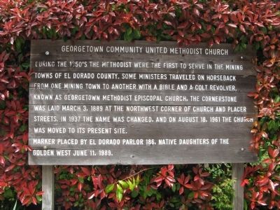
Georgetown Community United Methodist Church
Erected 1989 by El Dorado Parlor 186, Native Daughters of the Golden West.
Topics and series. This historical marker is listed in this topic list: Churches & Religion. In addition, it is included in the Native Sons/Daughters of the Golden West series list. A significant historical month for this entry is March 1859.
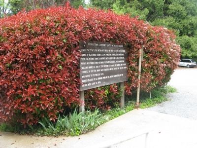
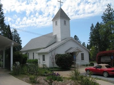
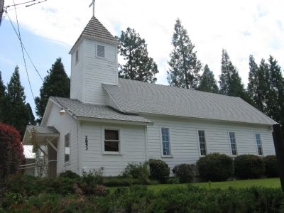
Location. 38° 54.621′ N, 120° 50.178′ W. Marker is in Georgetown, California, in El Dorado County. Marker can be reached from Church Street north of School Street, on the right when traveling north. The marker is located in the parking lot across from the church building. Touch for map. Marker is at or near this postal address: 2853 Church Street, Georgetown CA 95634, United States of America. Touch for directions.
Other nearby markers. At least 8 other markers are within walking distance of this marker. Georgia Slide (about 500 feet away, measured in a direct line); Georgetown School (approx. 0.2 miles away); American River Inn (approx. ¼ mile away); The American Hotel (approx. ¼ mile away); Growlersburg Veterans of Foreign Wars Post 9241 (approx. ¼ mile away); Georgetown Blues (approx. ¼ mile away); Georgetown - Pride of the Sierra / Growlersburg / E Clampus Vitus (approx. ¼ mile away); Miners Club (approx. ¼ mile away). Touch for a list and map of all markers in Georgetown.
Also see . . . History of the Church. By 1851 Methodist circuit riders were preaching on the Divide. One tale tells of a circuit riding preacher who was badgered by an inebriated patron of a bar doing double duty as a m eeting house. The next week the preacher came into the bar with a revolver in one hand and a Bible in the other. He put both objects on the bar and asked, "Now, are there any questions?" (Submitted on May 4, 2012.)
Additional commentary.
1. The Methodists Church
Methodists have been gathering in this area since 1851, but have had problems finding a building of their own. Their first church burned, finances floundered a second attempt. The congregation shared a hall until they were able to raise $1,500. A cornerstone was laid in 1889, and the building debt was completely paid off by the time the church was dedicated. Two new lots were purchased in 1961, and the church was dismantled from its foundation and carefully hauled to its present location.
Source: Georgetown Walking Tour Brochure.
— Submitted May 4, 2012.
Credits. This page was last revised on June 16, 2016. It was originally submitted on May 4, 2012, by Syd Whittle of Mesa, Arizona. This page has been viewed 456 times since then and 8 times this year. Photos: 1, 2, 3, 4. submitted on May 4, 2012, by Syd Whittle of Mesa, Arizona.


