Near Savannah in Chatham County, Georgia — The American South (South Atlantic)
Brick Pillar
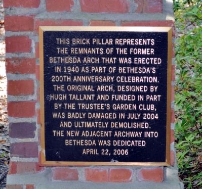
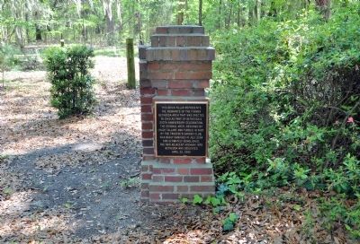
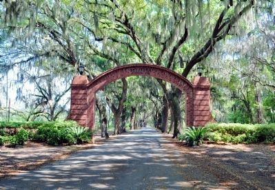
This brick pillar represents the remnants of the former Bethesda Arch that was erected in 1940 as part of Bethesda’s 200th anniversary celebration. The original arch, designed by Hugh Tallant and funded in part by the Trustee’s Garden Club, was badly damaged in July 2004 and ultimately demolished. The new adjacent archway into Bethesda was dedicated April 22, 2006.
Topics. This historical marker is listed in these topic lists: Charity & Public Work • Education. A significant historical date for this entry is April 22, 1936.
Location. 31° 57.567′ N, 81° 5.778′ W. Marker is near Savannah, Georgia, in Chatham County. Marker is at the intersection of Ferguson Avenue and Old Montgomery Road, on the left when traveling south on Ferguson Avenue. Touch for map. Marker is at or near this postal address: 9520 Ferguson Avenue, Savannah GA 31406, United States of America. Touch for directions.
Other nearby markers. At least 8 other markers are within 3 miles of this marker, measured as the crow flies. Bethesda (approx. 0.2 miles away); Pin Point Community (approx. half a mile away); Site of Colonial Shipyard (approx. 1.4 miles away); Noble Jones’ “Wormslow” (approx. 1.6 miles away); Capture of the USS "Water Witch" (approx. 1.7 miles away); Vernonburg (approx. 1.8 miles away); Beaulieu Plantation (approx. 2 miles away); Isle of Hope (approx. 2.2 miles away). Touch for a list and map of all markers in Savannah.
Regarding Brick Pillar. Three Georgia Historical Markers ("Bethesda: Its Founding," "Bethesda: Highlights of Its History." and "The Union Society and Bethesda") stood within a few feet of the original arch. All were removed in 2004, and have not been replaced.
Also see . . . Bethesda. The New Georgia Encyclopedia website entry (Submitted on June 12, 2012, by David Seibert of Sandy Springs, Georgia.)
Credits. This page was last revised on October 17, 2021. It was originally submitted on May 8, 2012, by David Seibert of Sandy Springs, Georgia. This page has been viewed 848 times since then and 28 times this year. Photos: 1, 2, 3. submitted on May 8, 2012, by David Seibert of Sandy Springs, Georgia. • Craig Swain was the editor who published this page.


