Guymon in Texas County, Oklahoma — The American South (West South Central)
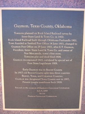
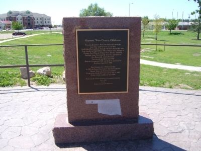
Guymon, Texas County, Oklahoma
Inter-State Land & Town Co. in 1900.
Rock Island Railroad built through Oklahoma Panhandle 1901.
Town founded as Sanford Post Office 14 June 1901, changed to
Guymon Post Office on 29 June 1901, after E.T. Guymon,
President, Inter-State Land & Town Co. and owner of
Star Mercantile, town's first store.
Townsite plat and deed filed 1904.
Guymon incorporated 1905, validated by special act of
First State Legislature 1908
Early Guymon was in Beaver County.
In 1907 old Beaver County split into three counties:
Beaver, Texas, and Cimarron Counties.
Guymon was designated Texas County Seat in 1907,
Present county courthouse built 1928.
Erected on the occasion of Guymon's Centennial Celebration
Erected 2001 by Guymon Centennial Commission.
Topics and series. This historical marker is listed in this topic list: Settlements & Settlers. In addition, it is included in the Postal Mail and Philately series list. A significant historical date for this entry is June 14, 1901.
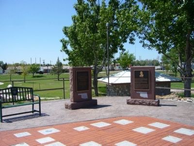
Location. 36° 40.657′ N, 101° 28.412′ W. Marker is in Guymon, Oklahoma, in Texas County. Marker can be reached from the intersection of U.S. 412 and U.S. 54. Marker is in Centennial Park. Enter from Park Avenue on east side of park. Touch for map. Marker is in this post office area: Guymon OK 73942, United States of America. Touch for directions.
Other nearby markers. At least 6 other markers are within walking distance of this marker. E.T. Guymon (here, next to this marker); The Cow (a few steps from this marker); The Pig (within shouting distance of this marker); Oil & Gas (within shouting distance of this marker); Panhandle Area Natural Gas (approx. 0.3 miles away); "Trees" of the Prairie (approx. 0.3 miles away).
Credits. This page was last revised on June 16, 2016. It was originally submitted on May 11, 2012, by Bill Kirchner of Tucson, Arizona. This page has been viewed 607 times since then and 17 times this year. Photos: 1, 2, 3. submitted on May 11, 2012, by Bill Kirchner of Tucson, Arizona. • Bernard Fisher was the editor who published this page.


