Wilkesboro in Wilkes County, North Carolina — The American South (South Atlantic)
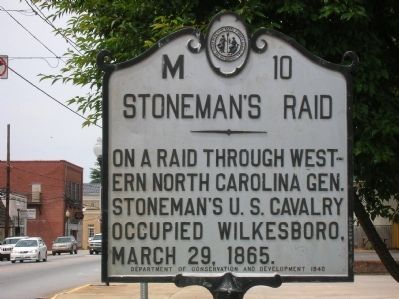
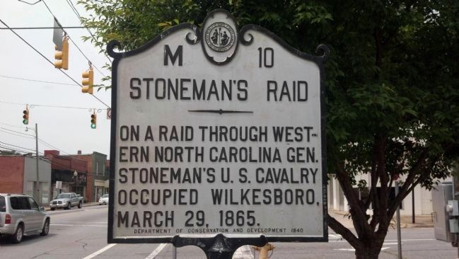
Stoneman's Raid
Erected 1940 by NC Department of Conservation and Development. (Marker Number M-10.)
Topics and series. This historical marker is listed in this topic list: War, US Civil. In addition, it is included in the North Carolina Division of Archives and History series list. A significant historical date for this entry is March 29, 1850.
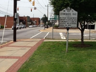
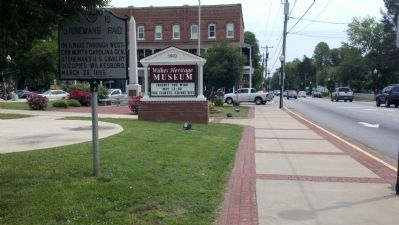
Location. 36° 8.907′ N, 81° 9.102′ W. Marker is in Wilkesboro, North Carolina, in Wilkes County. Marker is at the intersection of Main Street (Route 18) and Bridge Street, on the right when traveling west on Main Street. Touch for map. Marker is in this post office area: Wilkesboro NC 28697, United States of America. Touch for directions.
Other nearby markers. At least 8 other markers are within walking distance of this marker. Old Wilkes County Courthouse (here, next to this marker); Wilkes County War Memorial (a few steps from this marker); Hubbard's (within shouting distance of this marker); Former Wilkes County Courthouse (within shouting distance of this marker); Benbow & Tomlinson Store (within shouting distance of this marker); Colonel Ben Cleveland (within shouting distance of this marker); Bank of Wilkes (within shouting distance of this marker); Wilkes County Courthouse Annex (within shouting distance of this marker). Touch for a list and map of all markers in Wilkesboro.
Credits. This page was last revised on March 23, 2021. It was originally submitted on May 12, 2012, by Michael C. Wilcox of Winston-Salem, North Carolina. This page has been viewed 718 times since then and 38 times this year. Photos: 1, 2, 3, 4, 5. submitted on May 12, 2012, by Michael C. Wilcox of Winston-Salem, North Carolina. • Craig Swain was the editor who published this page.


