Near Tahoma in El Dorado County, California — The American West (Pacific Coastal)
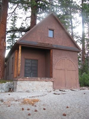
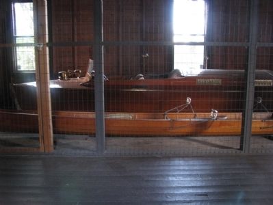
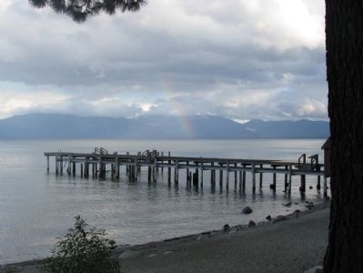
Pine Lodge-Erhman Mansion
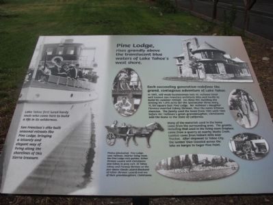
Photographed By Denise Boose, August 6, 2009
1. Pine Lodge-Erhman Mansion Marker
Photo captions(clockwise):
Pine Lodge, Isais Hellma, interior living room, the Pine Lodge rock garden, Esther Ehrman Lazard with Christianne and Sidney in pony cart, SS Tahoe, Sidney in pony cart, SS Tahoe, Sidney and Florence Ehrman on the pier above Claude Lazard (husband of Esther Ehrman Lazard) and one of their granddaughters, Christianne.
Pine Lodge, Isais Hellma, interior living room, the Pine Lodge rock garden, Esther Ehrman Lazard with Christianne and Sidney in pony cart, SS Tahoe, Sidney in pony cart, SS Tahoe, Sidney and Florence Ehrman on the pier above Claude Lazard (husband of Esther Ehrman Lazard) and one of their granddaughters, Christianne.
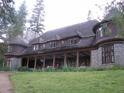
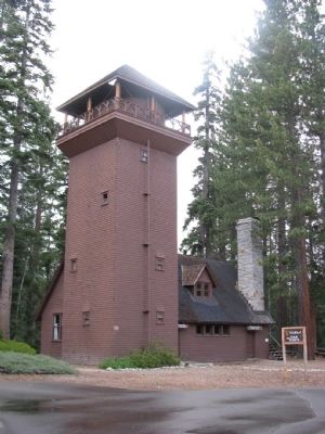
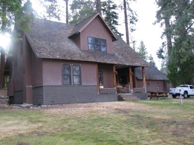
Pine Lodge, rises -grandly above the translucent blue waters of Lake Tahoe's west shore.
San Francisco's elite built seasonal retreats like Pine Lodge, bringing a leisurely and elegant way of living along the shorelines of this Sierra treasure.
Each succeeding generation redefines the grand, contagious adventure of Lake Tahoe.
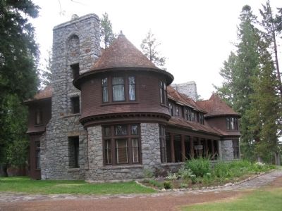
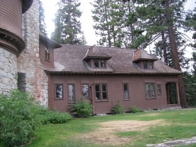
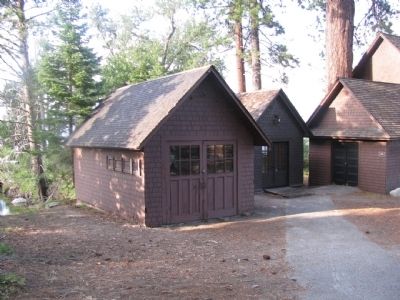
In 1901, self-made businessman Isais W. Hellman hired well known San Francisco architects Bliss and Faville to build his summer retreat. He chose this building site among his 1,016 acres for the spectacular three-story, 11,703 square foot Pine Lodge. Mr. Hellman's daughter Florence married Sidney Ehrman, thus the name Erhman Mansion. The family used the home from 1903 until 1965 before Mr. Hellman's great-granddaughter, Christianne sold the home to the state of California.
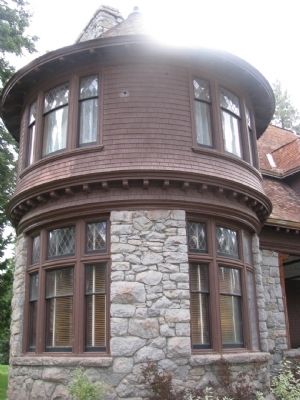
Many of the materials used in the home came from the surrounding area. The granite, including that used in the living room fireplace, came from a quarry at nearby Meeks Creek. Lumber came from Hobart Mills near Truckee. After shipment to Tahoe City, the lumber then traveled across the lake on barges to Sugar Pint Point.
Topics. This historical marker is listed in these topic lists: Settlements & Settlers • Waterways & Vessels. A significant historical year for this entry is 1901.
Location. 39° 3.173′ N, 120° 6.832′ W. Marker is near Tahoma, California, in El Dorado County. Marker is on California State Park Road. From Tahoe City, drive nine miles south on Highway 89 to Sugar Pine Point State Park exit to Ca State Park Road. The state park is located some eighteen miles north of the community of South Lake Tahoe. Touch for map. Marker is at or near this postal address: California State Park Road, Tahoma CA 96142, United States of America. Touch for directions.
Other nearby markers. At least 8 other markers are within 8 miles of this marker, measured as the crow flies. Enjoy the View from Inspiration Point (approx. 7.4 miles away); Tahoe By Car (approx. 7.4 miles away); Vikingsholm – A Scandinavian Castle (approx. 7.4 miles away); Da ow a ga – Lake Tahoe (approx. 7.4 miles away); The Hermit of Emerald Bay (approx. 7.4 miles away); Fannette Island (approx. 7.4 miles away); William B. Layton Park (approx. 8 miles away); The Sacred Lake (approx. 8 miles away).
Credits. This page was last revised on November 3, 2019. It was originally submitted on May 20, 2012, by Denise Boose of Tehachapi, California. This page has been viewed 882 times since then and 15 times this year. Photos: 1, 2, 3, 4, 5, 6, 7, 8, 9, 10, 11, 12. submitted on May 20, 2012, by Denise Boose of Tehachapi, California. • Syd Whittle was the editor who published this page.
Editor’s want-list for this marker. Wide area view of the marker and its surroundings. • Can you help?
