Charlestown in Boston in Suffolk County, Massachusetts — The American Northeast (New England)
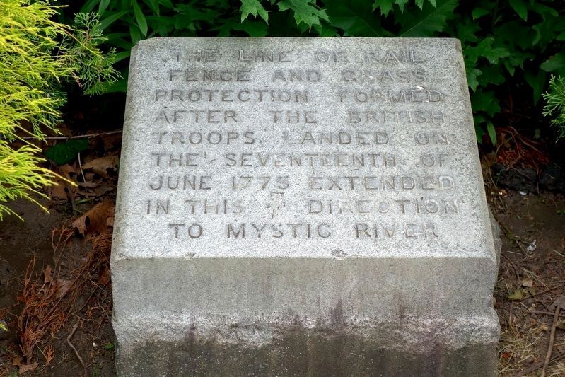
The Line of Rail Fence and Grass Protection
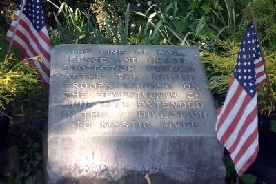
Photographed by Matthew R Gilbertson, May 20, 2012
1. The Line of Rail Fence and Grass Protection Marker
Topics. This historical marker is listed in this topic list: War, US Revolutionary.
Location. 42° 22.734′ N, 71° 3.719′ W. Marker is in Boston, Massachusetts, in Suffolk County. It is in Charlestown. It is on Bunker Hill St just west of Polk St, on the right when traveling west. Marker is in Bunker Hill Burying Ground, to the right of the entrance. Touch for map. Marker is at or near this postal address: 197 Bunker Hill St, Charlestown MA 02129, United States of America. Touch for directions.

Regionally, this marker is in Massachusetts’ Historic Boston. It is also in the American Northeast, in New England, and on the Eastern Seaboard. Globally, it is in the North Atlantic Region, North America, the Western Hemisphere, the Western World, and the Anglosphere. Historically, it finds itself in what was once one of the original Thirteen Colonies.
Other nearby markers. At least 8 other markers are within walking
this page online
Photographed by R.J. O’Hara, June 17, 2025
2. The Line of Rail Fence and Grass Protection Marker
Photographed by R.J. O’Hara, June 17, 2025
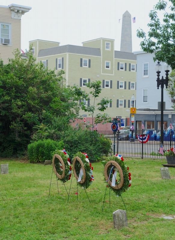
3. Placement of the Rail Fence Marker in the Bunker Hill Burying Ground
Bunker Hill Burying Ground, looking south, showing the location of the Rail Fence marker among the shrubs to the center-left, facing the Bunker Hill Street sidewalk. The cemetery and the Bunker Hill Monument in the distance are decorated for the 250th anniversary of the Battle of Bunker Hill on 17 June 1775.
Credits. This page was last revised on June 24, 2025. It was originally submitted on May 20, 2012, by Matt Gilbertson of Medford, Massachusetts. This page has been viewed 1,159 times since then and 47 times this year. Photos: 1. submitted on May 20, 2012, by Matt Gilbertson of Medford, Massachusetts. 2, 3. submitted on June 22, 2025, by R.J. O’Hara of Fitchburg, Massachusetts. • Bill Pfingsten was the editor who published this page.
