Middleburg in Loudoun County, Virginia — The American South (Mid-Atlantic)
Battle of Middleburg
Searching for Lee
— Gettysburg Campaign —
After Confederate Gen. Robert E. Lee's stunning victory at Chancellorsville in May 1863, he led the Army of Northern Virginia west to the Shenandoah Valley,then north through central Maryland and across the Mason-Dixon Line into Pennsylvania. Union Gen. George G. Meade, who replaced Gen. Joseph Hooker on June 28, led the Army of the Potomac in pursuit. The armies collided at Gettysburg on July 1, starting a battle that neither general planned to fight there. Three days later, the defeated Confederates retreated crossing the Potomac River into Virginia on July 14.
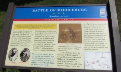
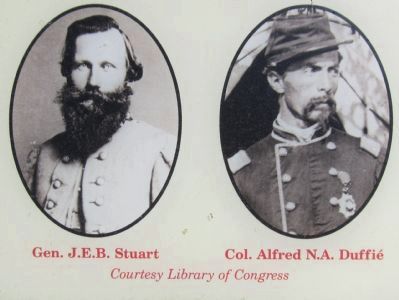
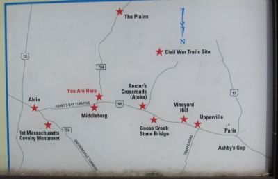
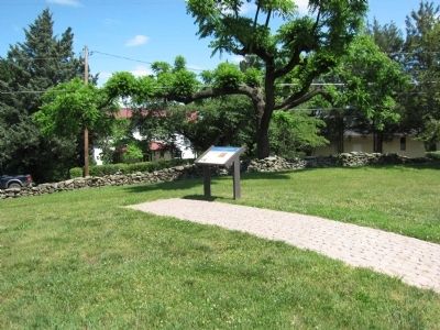
You are standing where part of the Battle of Middleburg took place in June 1863, as Confederate Gen. J.E.B. Stuart's cavalry division screened the march of Gen. Robert E. Lee's infantry to the Shenandoah Valley from prying Federal eyes. Campfires burned brightly at Union Gen. Joseph Hooker's headquarters near Fredericksburg on the night of June 16, as he pondered the best means of determining exactly where Lee was headed with the Army of Northern Virginia. Gen. Alfred Pleasonton, commander of the Union Cavalry Corps, urged Hooker to probe in force toward the Shenandoah Valley. But Hooker, still haunted by his recent failure at Chancellorsville, decided on a limited reconnaissance instead and elected to send forward only one regiment, the 1st Rhode Island Cavalry.
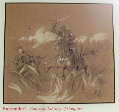
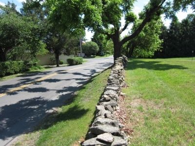
On June 17, Col. Alfred N.A. Duffié led the Rhode Islanders through Thoroughfare Gap toward Middleburg. Confederate Gen. J.E.B. Stuart had made his headquarters in Middleburg, and Duffié's sudden arrival forced him to beat an undignified retreat. That evening, Stuart ordered Gen. Beverly H. Robertson to retake the town with his 4th and 5th North Carolina Cavalry regiments. Following a terrific fight here along The Plains Road just south of Middleburg, the Rhode Islanders retired south in peremptory haste to Burnt Mill Run. On the morning of June 18, Southern cavalry overwhelmed the regiment there, capturing more than 200 men. Duffié escaped with part of his command.
"We trusted our leaders, but it seemed that someone had blundered in sending so small a body of cavalry so far from the main column." - Pvt. Albert P. Tasker, 1st Rhode Island Cavalry
Erected by Virginia Civil War Trails.
Topics and series. This historical marker is listed in this topic list: War, US Civil. In addition, it is included in the Virginia Civil War Trails series list. A significant historical month for this entry is May 1863.
Location. 38° 57.987′ N, 77° 44.323′ W. Marker is in Middleburg, Virginia, in Loudoun County. Marker is on The Plains Road (County Route 626), on the right when traveling south. Located behind the National Sporting Library and Museum. Touch for map. Marker is in this post office area: Middleburg VA 20117, United States of America. Touch for directions.
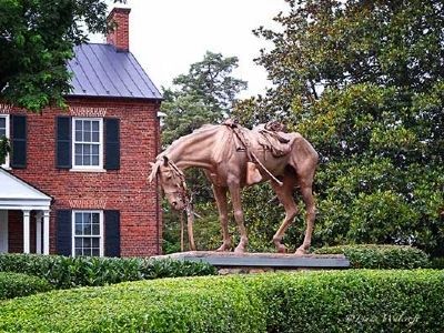
Other nearby markers. At least 8 other markers are within 2 miles of this marker, measured as the crow flies. Bridled Veterans Memorial (within shouting distance of this marker); Sergeant Henry Milton Seaton (approx. ¼ mile away); The Red Fox Inn (approx. ¼ mile away); Lt. Col. Leven Powell (approx. ¼ mile away); Middleburg (approx. ¼ mile away); Middleburg Baptist Church (approx. 0.4 miles away); To The Unknown Dead. (approx. half a mile away); Phase Two of the Battle: Fighting Along the Turnpike (approx. 1.3 miles away). Touch for a list and map of all markers in Middleburg.
Credits. This page was last revised on June 16, 2016. It was originally submitted on May 21, 2012, by Craig Swain of Leesburg, Virginia. This page has been viewed 1,595 times since then and 40 times this year. Photos: 1, 2, 3, 4, 5, 6. submitted on May 21, 2012, by Craig Swain of Leesburg, Virginia. 7. submitted on August 5, 2013, by Linda Walcroft of Woodstock, Virginia.
